


Aus unserem Gran Canaria Reiseführer
Panoramaweg um eine wasserreiche Schlucht
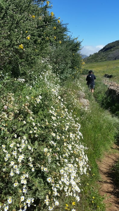
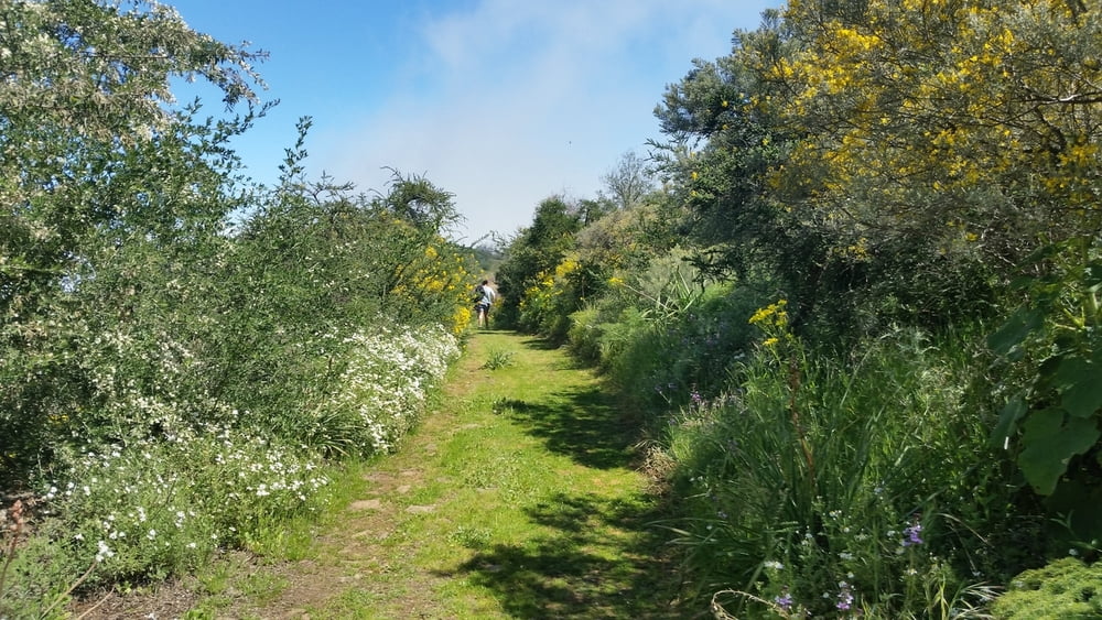
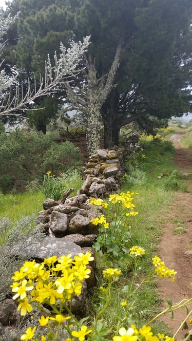
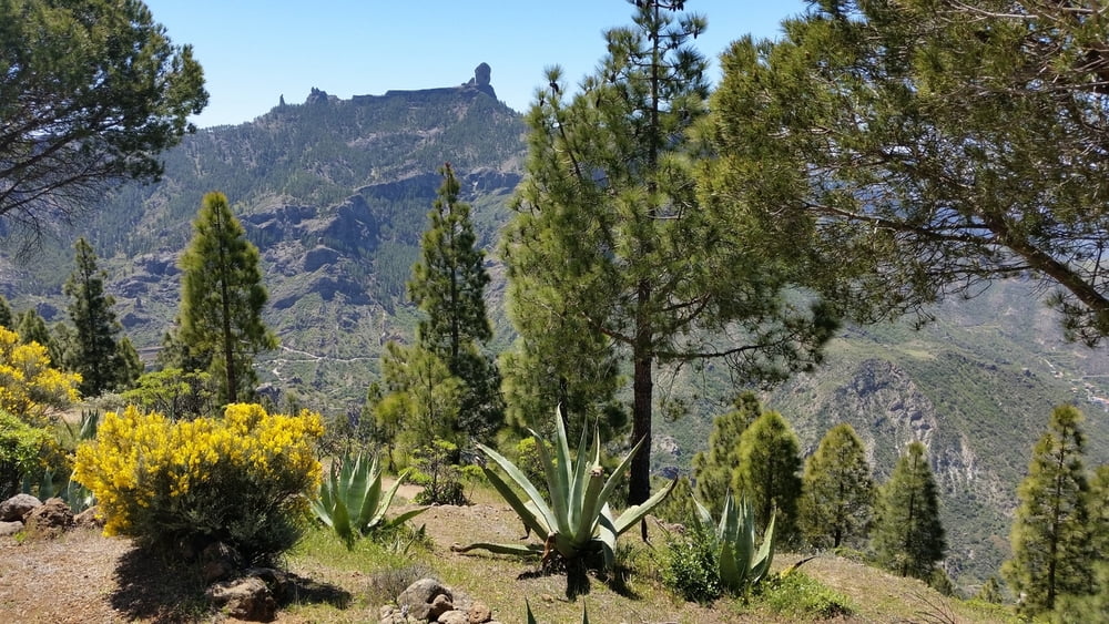
Erst geht’s hinab ins Tal des rauschenden Wassers, dann folgt eine lange höhehaltende Passage: Der halbe Inselnorden liegt Ihnen zu Füßen, der Blick reicht bis zur Canteras-Bucht in Las Palmas. Getoppt wird das Panorama noch, wenn Sie über ein tiefes Tal hinweg auf den »Wolkenfels« schauen. Vor allem wenn die Almen nach winterlichen Regenfällen in sattem Grün stehen, kleine Wasserfälle plätschern und jede noch so kleine Blume blüht, ist diese Tour ein Genuss.
Galerie du tour
Carte du tour et altitude
Minimum height 1419 m
Maximum height 1645 m
More about the tour author

|
claus_lorenz |
Commentaires

vom Cruz de Tejeda auf der CG-150 ca. 2,5km bis zum Mirador de Becerra fahren und dort parken.
Tracks GPS
Trackpoints-
GPX / Garmin Map Source (gpx) download
-
TCX / Garmin Training Center® (tcx) download
-
CRS / Garmin Training Center® (crs) download
-
Google Earth (kml) download
-
G7ToWin (g7t) download
-
TTQV (trk) download
-
Overlay (ovl) download
-
Fugawi (txt) download
-
Kompass (DAV) Track (tk) download
-
Feuille de tours (pdf) download
-
Original file of the author (gpx) download
More about the tour author
|
|
claus_lorenz |
Add to my favorites
Remove from my favorites
Edit tags
Open track
My score
Rate