Login

Login oublié ?

Cookies have to be accepted!
Your browser's cookie functionality is disabled. Please enable this functionality.

Not a member yet?

Register now
Login

Available for registred users only

Log in to use this feature.

Login oublié ?

Cookies have to be accepted!
Your browser's cookie functionality is disabled. Please enable this functionality.

Not a member yet?

Register now
Filter
Catégories
Advanced filters
  • Longueur (km)
  • Altimètre
Enregistrer le filtre Reset filter

TrackRank

QRCode

Technical data

Longueur56,4 km Altimètre47 m Way down55 m Durée5 days 21 h Date31.03.2016
Evaluations Author Paysage Aspect amusement Condition Technique

Statistiques

242 Vues Evaluations 28 Téléchargements Moyenne
Rate
  • Feuille de tours
  • Arrivée
  • Téléchargements
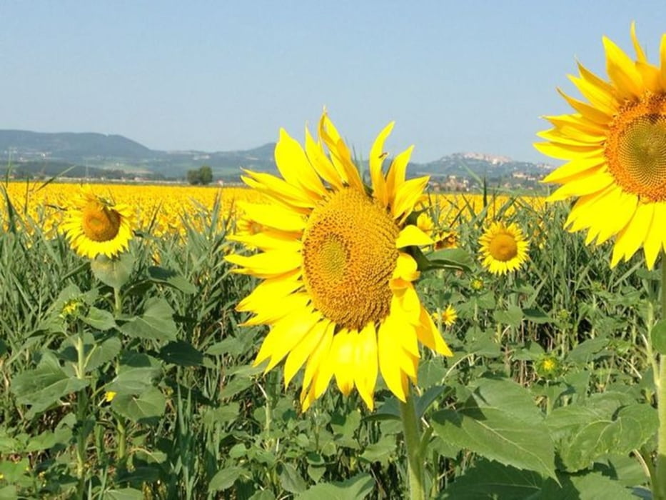
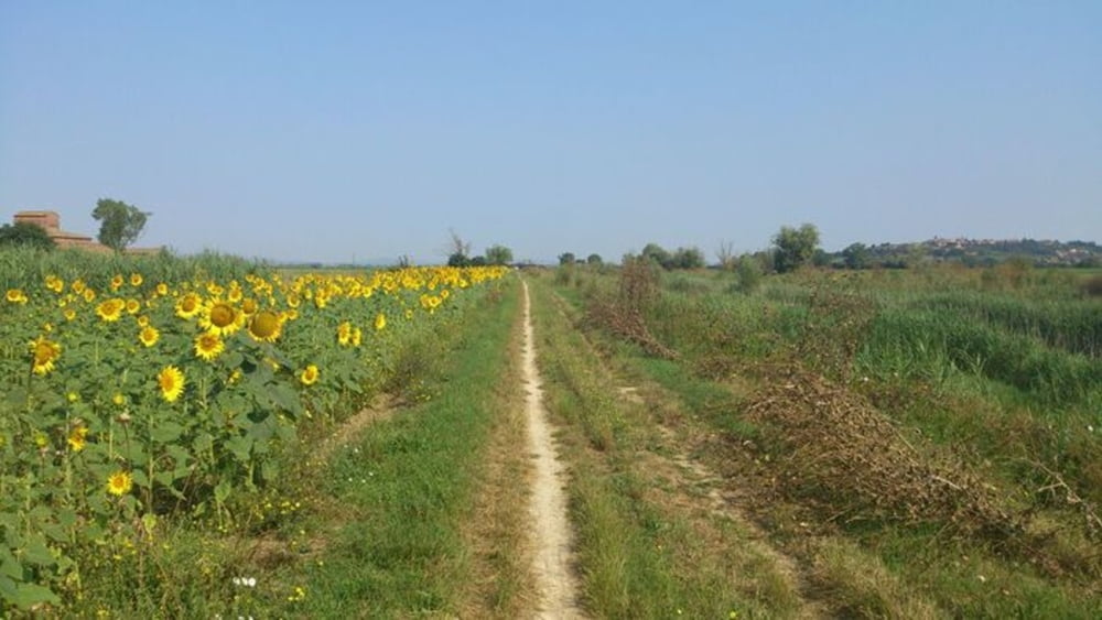
98% sterrato, una passeggiata tra le campagne fiorentine, procurarsi in precedenza l'acqua, circa a metà percorso si trova un bar dentro una tenuta segnalata.

Galerie du tour

Carte du tour et altitude

  • Open Street Map
  • Google
Minimum height 294 m Maximum height 309 m Vue de détail

More about the tour author

ShaRe78
Member since 2016

Send private message

Commentaires

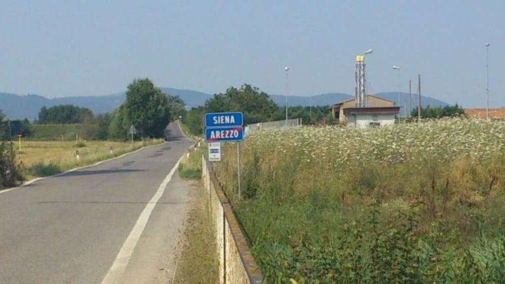
Raggiungibile in treno, si scende a Chiusi si risale ad Arezzo


Tracks GPS

Trackpoints
  • GPX / Garmin Map Source (gpx) download
  • TCX / Garmin Training Center® (tcx) download
  • CRS / Garmin Training Center® (crs) download
  • Google Earth (kml) download
  • G7ToWin (g7t) download
  • TTQV (trk) download
  • Overlay (ovl) download
  • Fugawi (txt) download
  • Kompass (DAV) Track (tk) download
  • Feuille de tours (pdf) download
  • Original file of the author (gpx) download

More about the tour author

ShaRe78
Member since 2016

Send private message
Share track
Add to my favorites
Remove from my favorites
Edit tags
My score
Rate
Tour: Sentiero della Bonifica
Cat.: Mountainbike
Longueur: 56,4 km
Evaluated on:
Durée:
Day(s)
Hour(s)
Minute(s)
Evaluation: Paysage Aspect amusement Condition Technique