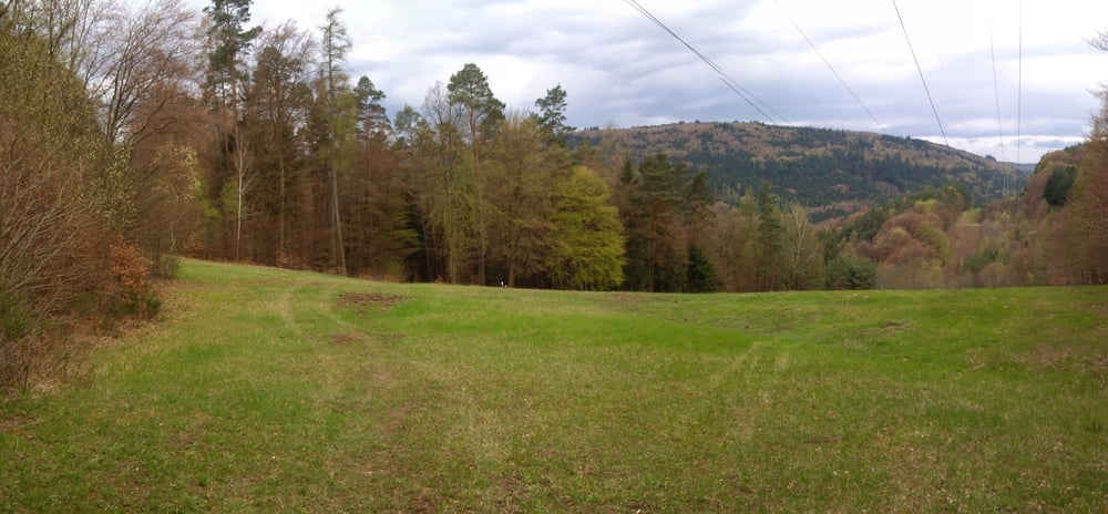
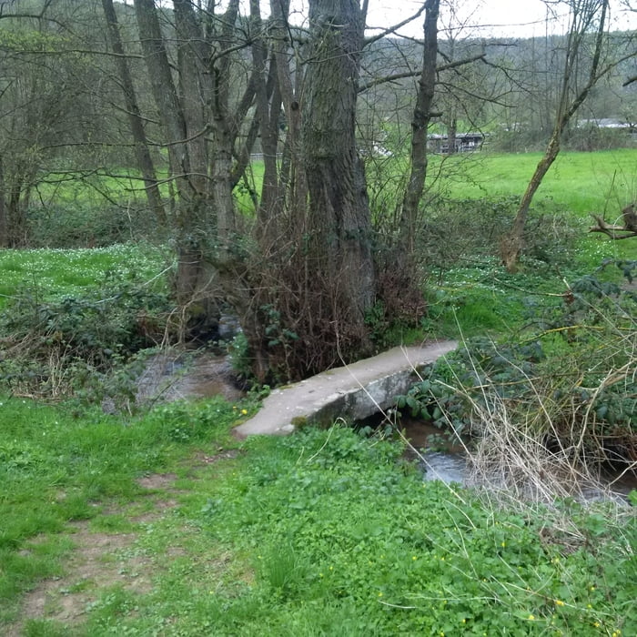
Vom Start am Bahnhof in Faulbach den Mainradweg entlang bis nach Stadtprozelten, dann den Sellgrund hinauf. Schließlich ein Stück auf dem Eselsweg, über den Gasthof Hundsrück und Wolfsbuche bis zum Sandacker und dann einen Trail hinunter nach Breitenbrunn. Einkehrmöglichkeit in der "Alten Mühle".
Further information at
http://www.muehle-breitenbrunn.de/Galerie du tour
Carte du tour et altitude
Minimum height 131 m
Maximum height 522 m
Commentaires

Startpunkt ist der Parkplatz am Bahnhof in Faulbach.
Tracks GPS
Trackpoints-
GPX / Garmin Map Source (gpx) download
-
TCX / Garmin Training Center® (tcx) download
-
CRS / Garmin Training Center® (crs) download
-
Google Earth (kml) download
-
G7ToWin (g7t) download
-
TTQV (trk) download
-
Overlay (ovl) download
-
Fugawi (txt) download
-
Kompass (DAV) Track (tk) download
-
Feuille de tours (pdf) download
-
Original file of the author (gpx) download
Add to my favorites
Remove from my favorites
Edit tags
Open track
My score
Rate


