


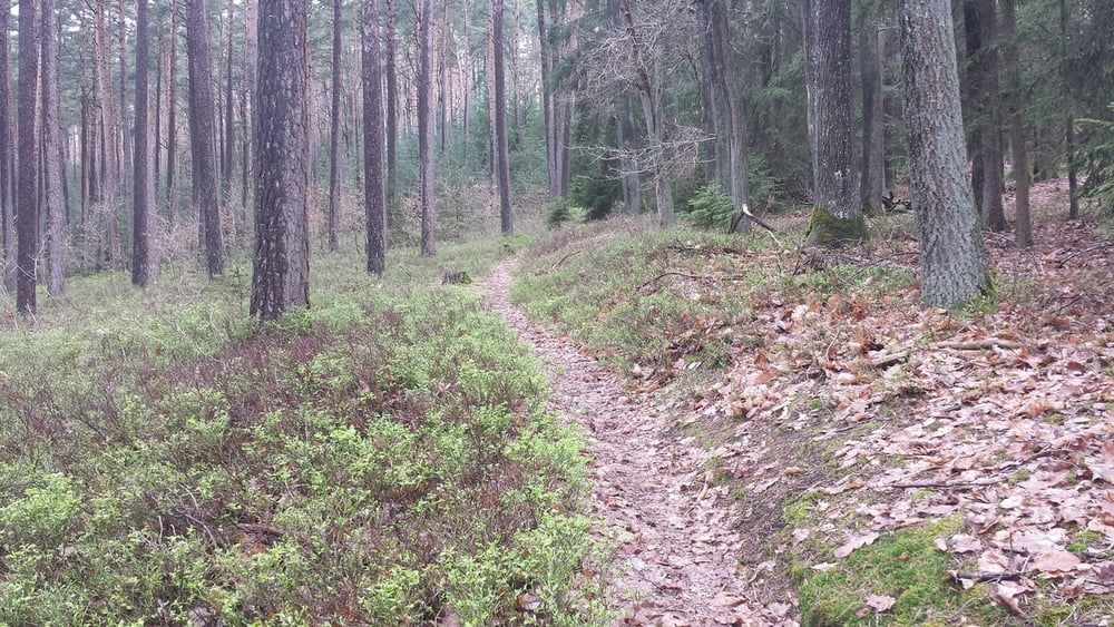
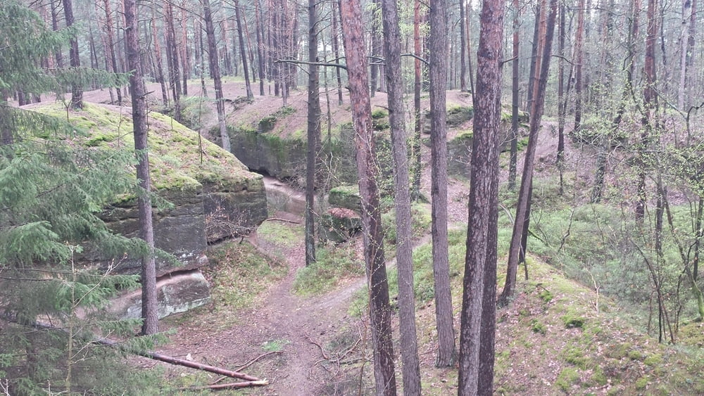
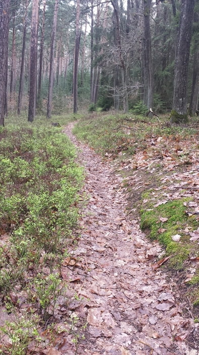
kurze, knackige Trailrunde am Heidenberg. Die Tour beeinhaltet einige der schönsten Trails am Heidenberg. Macht auch bei Matschwetter richtig Laune. Allerdings setzen dann nasse Wurzeln einiges an Fahrtechnik voraus.
Die Tour dürfte hauptsächlich im Bereich S0 bis S1 liegen, wenige Stellen bergauf evtl. S2 Niveau. Man sollte zumindest kein Anfänger sein, sonst hat zu viele Schiebepassagen.
Macht LAUNE, viel Spaß!
Further information at
https://www.google.de/maps/place/Staatliche+Realschule+Schwabach/@49.3263527,11.0084939,17z/data=!3m1!4b1!4m2!3m1!1s0x479f4e2afbf155f3:0x723ad924327ec035?hl=deGalerie du tour

Carte du tour et altitude
Minimum height 333 m
Maximum height 433 m
More about the tour author
|
|
sundancer |
Commentaires

wie immer bei meinen Touren Parken am besten an der Realschlule in der Waikersreuther Staße
Tracks GPS
Trackpoints-
GPX / Garmin Map Source (gpx) download
-
TCX / Garmin Training Center® (tcx) download
-
CRS / Garmin Training Center® (crs) download
-
Google Earth (kml) download
-
G7ToWin (g7t) download
-
TTQV (trk) download
-
Overlay (ovl) download
-
Fugawi (txt) download
-
Kompass (DAV) Track (tk) download
-
Feuille de tours (pdf) download
-
Original file of the author (gpx) download
More about the tour author
|
|
sundancer |
Add to my favorites
Remove from my favorites
Edit tags
Open track
My score
Rate