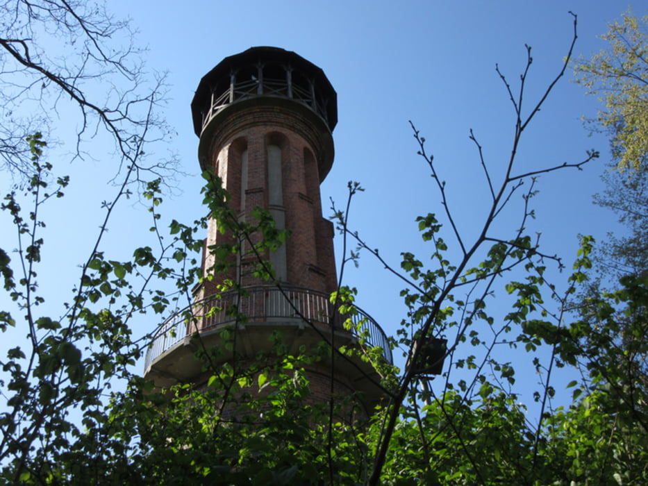
Zwei Autos, 9 Leute, bestes Wetter - Mittelgebirgsfeeling in Brandenburg
Auch ohne Turmdiplom haben wir einen Weg gefunden, zwei der zahlreichen Türme bstiegen, in Sichtweite der Biberburg am Teufelssee Picknick gehalten, Likörchen gepichelt und zum Abschluß gut gegessen.
Further information at
http://xxrhahn.de/touren/bad-freienwalde-herrentag/index.htmlGalerie du tour
Carte du tour et altitude
Minimum height 17 m
Maximum height 244 m
Commentaires

mit dem Auto
Ber Bahn dauert's deutlich länger
Tracks GPS
Trackpoints-
GPX / Garmin Map Source (gpx) download
-
TCX / Garmin Training Center® (tcx) download
-
CRS / Garmin Training Center® (crs) download
-
Google Earth (kml) download
-
G7ToWin (g7t) download
-
TTQV (trk) download
-
Overlay (ovl) download
-
Fugawi (txt) download
-
Kompass (DAV) Track (tk) download
-
Feuille de tours (pdf) download
-
Original file of the author (gpx) download
Add to my favorites
Remove from my favorites
Edit tags
Open track
My score
Rate


