
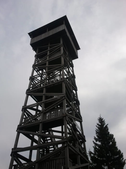

Startpunkt REWE Getränkemarkt Bad Zwesten. Kasseler Straße Richtung Ortsmitte. Erste Links, sofort rechts am Sportplatz vorbei zur B485. gleich wieder links den Fußweg zur schwalm folgen. Am Camping Platz recht dem Radweg bis zur Niederurffer Brücke folge. Links zurück den Berg zur Altenburg hinauf. Teilweise sehr steil und bei Nässe rutschig. Am Altenburg Turm rechts den trail hinunter. Über fahrwege nach Kerstenhausen. Vor der Schwalmbrücke gleich links den Fahrweg folgen und danach über eine trail zum Campingplatz Bad Zwesten entlang der Schwalm. Vom Campingplatz wie am Anfang zurück zum Parkplatz REWE Markt.
Schöner steiler Anstieg zur Altenburg und dann zwei schöne Trails.
Further information at
https://www.facebook.com/pages/Kellerwald-Bike-Tours/1392434991007426Carte du tour et altitude
Minimum height 194 m
Maximum height 433 m
More about the tour author

|
kitebike |
Commentaires

Bad Zwesten erreicht man von Norden und Süden über die B3. Gute Parkmöglichkeit am REWE Markt (Chaumont Allee) gut von der Bundestraße B3 sichtbar.
Tracks GPS
Trackpoints-
GPX / Garmin Map Source (gpx) download
-
TCX / Garmin Training Center® (tcx) download
-
CRS / Garmin Training Center® (crs) download
-
Google Earth (kml) download
-
G7ToWin (g7t) download
-
TTQV (trk) download
-
Overlay (ovl) download
-
Fugawi (txt) download
-
Kompass (DAV) Track (tk) download
-
Feuille de tours (pdf) download
-
Original file of the author (gpx) download
More about the tour author
|
|
kitebike |
Add to my favorites
Remove from my favorites
Edit tags
Open track
My score
Rate