


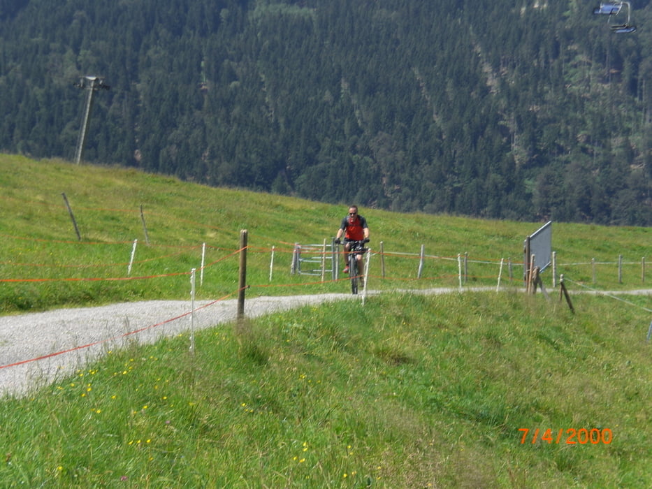
von der Baumit-Arena in Sonthofen fahren wir durch Sonthofen nach Immenstadt. Von hier Richtung Mittagbahn und dann auf dem sehr steilen Kiesweg hinauf zum Mittag-Gipfel. Ab hier Wiesentrail hinab, dann über einen Wurzelteppich Richtung Reute. Weiter auf einem Wiesentrail zu einer Alpe. Dann kurzer ausgesetzter Trail, der auf einem Fahrweg endet. Hier habe ich den Einstieg in den weiteren Trail übersehen und bin auf dem Fahrweg hinab zur Gunzesrieder Ach. Ab hier Richtung Blaichach. Immer an der Ach entlang mit einigen kurzen Gegenanstiegen. Wunderschön zum Fahren und auch landschaftlich sehr reizvoll. In Blaichach dann zurück zur Baumit-Arena über Bihlerdorf.
Galerie du tour


Carte du tour et altitude
Minimum height 726 m
Maximum height 1448 m
More about the tour author
|
|
Fruehaufsteher |
Commentaires

Tracks GPS
Trackpoints-
GPX / Garmin Map Source (gpx) download
-
TCX / Garmin Training Center® (tcx) download
-
CRS / Garmin Training Center® (crs) download
-
Google Earth (kml) download
-
G7ToWin (g7t) download
-
TTQV (trk) download
-
Overlay (ovl) download
-
Fugawi (txt) download
-
Kompass (DAV) Track (tk) download
-
Feuille de tours (pdf) download
-
Original file of the author (gpx) download
More about the tour author
|
|
Fruehaufsteher |
Add to my favorites
Remove from my favorites
Edit tags
Open track
My score
Rate