
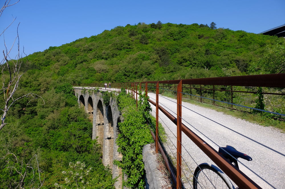

Der Radweg verläuft auf einem ehemaligen Bahndamm von Triest an die slowenische Grenze. Start ist direkt in Triest. Auf einer Strecke von ca. 16km geht es über 400 Hm gleichmäßig bergauf. Zunächst ist die Strecke noch asphaltiert, nach wenigen km wird es loser Schotter. Nicht für ganz schmale Reifen geeignet. Die gleiche Strecke dann wieder zurück. Es gibt in Triest nur sehr wenige brauchbare Radwege - Autos und Motorroller dominieren die ganze Gegend.
Galerie du tour


Carte du tour et altitude
Minimum height 46 m
Maximum height 461 m
More about the tour author

|
Maplebiker |
Commentaires

Tracks GPS
Trackpoints-
GPX / Garmin Map Source (gpx) download
-
TCX / Garmin Training Center® (tcx) download
-
CRS / Garmin Training Center® (crs) download
-
Google Earth (kml) download
-
G7ToWin (g7t) download
-
TTQV (trk) download
-
Overlay (ovl) download
-
Fugawi (txt) download
-
Kompass (DAV) Track (tk) download
-
Feuille de tours (pdf) download
-
Original file of the author (gpx) download
More about the tour author
|
|
Maplebiker |
Add to my favorites
Remove from my favorites
Edit tags
Open track
My score
Rate