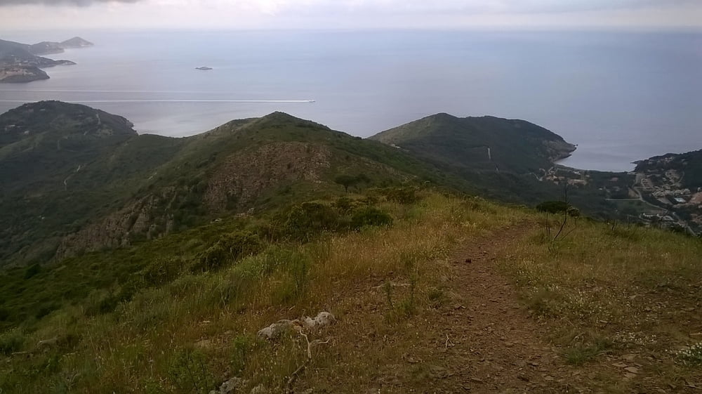
Mt Capannello is a genius place for experienced MTB bikers. Difficult trails and phantastic views.
Charakter of the tour:
Descent from Capannello to Bagnaia on Path No 53 is a wonderfull but technicaly difficult trail. I would rate it with S1 and some parts with S2. You should have a full suspension bike and fat tires to have fun on it.
Description:
1) Scaglieri - Ottone:
I started the tour on Camping Scaglieri. The way to Volteraio on the public road is no fun if you do it in the main season, because there is a lot of trafic. I did it early in the morning and enjoyed the smooth warmin up of my legs before I had to climb up tp Volteraio. Most of you will start the tour in Bagnaia or Ottone.
2) Ottone - Mt. Capannello: Very nice uphill on a small public road. On top of the pass turn left and take Path No62 and pass the peak on the east side. when you reached the antenna enjoy the view and put on your protectors (if you have)
3) Capanello - Bagnaia: First part of the descent is an loosy ground with a nice kicker build by some locals. Maybe you will find some signs with "elba gravity park" in direction to Rio nell Elba. But don't follow them today, turn left on path 53 in western direction and enjoy the first part of the trail which is very fast and flowy. Then the steps are getting higher and higher and there are many and big rocks on the path. With exhausted arms you will come to the public road between Bagnaia and Nisporto. Don't take the public road down to Bagnaia, turn left into a gravel road and enjoy the easy but fast dscent.
4) Bagnaia - Scaglieri: On public road to Portoferraio and Acquaviva. Turn left in a gravel road marked with No. 48. On the top turn right into a small path. Later this path is marked with No 51. On a junction turn left into path No 49 to Forno. Steep and difficult down to Forno and then on small public road back to scaglieri.
Carte du tour et altitude
Commentaires

Tracks GPS
Trackpoints-
GPX / Garmin Map Source (gpx) download
-
TCX / Garmin Training Center® (tcx) download
-
CRS / Garmin Training Center® (crs) download
-
Google Earth (kml) download
-
G7ToWin (g7t) download
-
TTQV (trk) download
-
Overlay (ovl) download
-
Fugawi (txt) download
-
Kompass (DAV) Track (tk) download
-
Feuille de tours (pdf) download
-
Original file of the author (gpx) download

