Login

Login oublié ?

Cookies have to be accepted!
Your browser's cookie functionality is disabled. Please enable this functionality.

Not a member yet?

Register now
Login

Available for registred users only

Log in to use this feature.

Login oublié ?

Cookies have to be accepted!
Your browser's cookie functionality is disabled. Please enable this functionality.

Not a member yet?

Register now
Filter
Catégories
Advanced filters
  • Longueur (km)
  • Altimètre
Enregistrer le filtre Reset filter

TrackRank

QRCode

Technical data

Longueur7,7 km Altimètre332 m Way down331 m Durée00:00 h:m Date26.06.2016
Evaluations Author Paysage Aspect amusement Condition Technique

Statistiques

487 Vues Evaluations 28 Téléchargements Moyenne
Rate
  • Feuille de tours
  • Arrivée
  • Téléchargements

Der Weg führt vom Parkplatz bei Hohenstein über Kreppling zur Griesmühle und von dort über Treuf zurück zum Ausgangspunkt.

Einkehrmöglichkeiten in Treuf (nur am Wochenende) und Hohenstein.
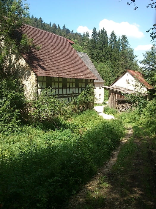
 

Galerie du tour

Carte du tour et altitude

  • Open Street Map
  • Google
Minimum height 423 m Maximum height 621 m Vue de détail

More about the tour author

Gendrisch
Member since 2010

Send private message

Commentaires

Tracks GPS

Trackpoints
  • GPX / Garmin Map Source (gpx) download
  • TCX / Garmin Training Center® (tcx) download
  • CRS / Garmin Training Center® (crs) download
  • Google Earth (kml) download
  • G7ToWin (g7t) download
  • TTQV (trk) download
  • Overlay (ovl) download
  • Fugawi (txt) download
  • Kompass (DAV) Track (tk) download
  • Feuille de tours (pdf) download
  • Original file of the author (gpx) download

More about the tour author

Gendrisch
Member since 2010

Send private message
Share track
Add to my favorites
Remove from my favorites
Edit tags
My score
Rate
Tour: Familienwanderung - Rundweg Hohenstein, Griesmühle und zurück
Cat.: Randonnées
Longueur: 7,7 km
Evaluated on:
Durée:
Day(s)
Hour(s)
Minute(s)
Evaluation: Paysage Aspect amusement Condition Technique