Login

Login oublié ?

Cookies have to be accepted!
Your browser's cookie functionality is disabled. Please enable this functionality.

Not a member yet?

Register now
Login

Available for registred users only

Log in to use this feature.

Login oublié ?

Cookies have to be accepted!
Your browser's cookie functionality is disabled. Please enable this functionality.

Not a member yet?

Register now
Filter
Catégories
Advanced filters
  • Longueur (km)
  • Altimètre
Enregistrer le filtre Reset filter

TrackRank

QRCode

Technical data

Longueur3,5 km Altimètre38 m Way down42 m Durée02:00 h:m Date26.06.2016
Evaluations Author Paysage Aspect amusement Condition Technique

Statistiques

232 Vues Evaluations 8 Téléchargements Moyenne
Rate
  • Feuille de tours
  • Arrivée
  • Téléchargements

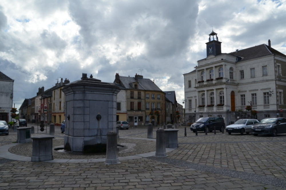
In het centrum van Rocroi zijn op de markt leuke eet en drankgelegenheden.

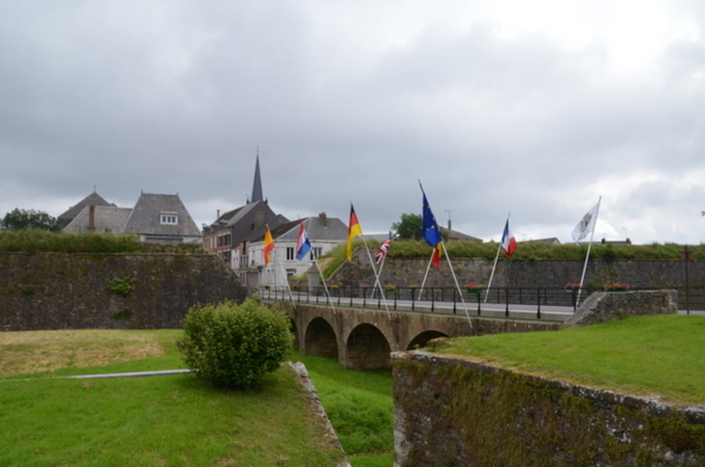
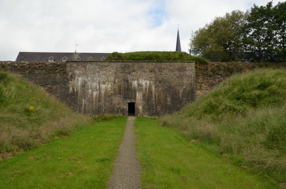
Neem zeker een zaklamp mee om eens rond te snuisteren in de donkere gangan van de vesten die je her en der tegen komt.


Galerie du tour

Carte du tour et altitude

  • Open Street Map
  • Google
Minimum height 375 m Maximum height 436 m Vue de détail

More about the tour author

ikkel
Member since 2009

Send private message

Commentaires

Tracks GPS

Trackpoints
  • GPX / Garmin Map Source (gpx) download
  • TCX / Garmin Training Center® (tcx) download
  • CRS / Garmin Training Center® (crs) download
  • Google Earth (kml) download
  • G7ToWin (g7t) download
  • TTQV (trk) download
  • Overlay (ovl) download
  • Fugawi (txt) download
  • Kompass (DAV) Track (tk) download
  • Feuille de tours (pdf) download
  • Original file of the author (gpx) download

More about the tour author

ikkel
Member since 2009

Send private message
Share track
Add to my favorites
Remove from my favorites
Edit tags
My score
Rate
Tour: Rocroi
Cat.: Randonnées
Longueur: 3,5 km
Evaluated on:
Durée:
Day(s)
Hour(s)
Minute(s)
Evaluation: Paysage Aspect amusement Condition Technique