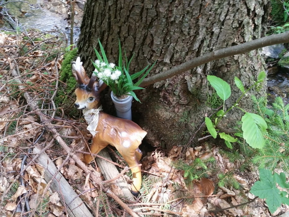
Im Märchenwald
6km - 2h
Schöne kleine Wanderung mit allerhand Informationen am Wegesrand. Es sind auch wunderschöne Geocaches versteckt.
Wer es dann noch sportlich mag kann in die Strobelmühle klettern gehen.
Galerie du tour
Carte du tour et altitude
Minimum height 462 m
Maximum height 619 m
Commentaires

Tracks GPS
Trackpoints-
GPX / Garmin Map Source (gpx) download
-
TCX / Garmin Training Center® (tcx) download
-
CRS / Garmin Training Center® (crs) download
-
Google Earth (kml) download
-
G7ToWin (g7t) download
-
TTQV (trk) download
-
Overlay (ovl) download
-
Fugawi (txt) download
-
Kompass (DAV) Track (tk) download
-
Feuille de tours (pdf) download
-
Original file of the author (gpx) download
Add to my favorites
Remove from my favorites
Edit tags
Open track
My score
Rate


