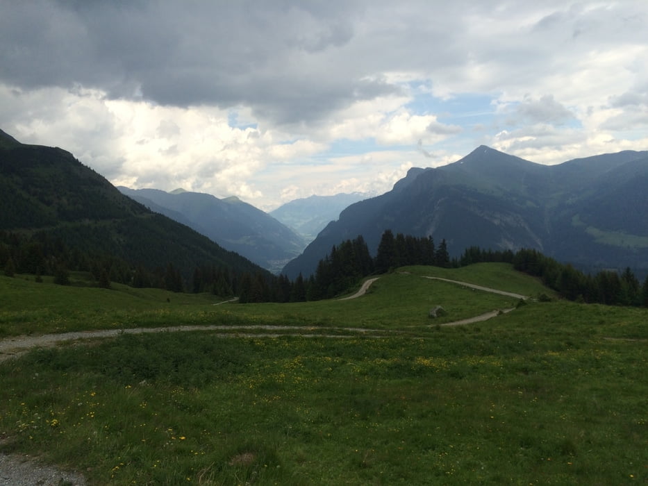
Von Nauders über die Norbertshöhe nach Martina und von dort zur Alpe Tee.
Da die Tour fast nur auf Asphalt und Forstwegen verläuft, eignet sie sich auch, wenn das Wetter nicht so optimal ist.
Galerie du tour
Carte du tour et altitude
Minimum height 1047 m
Maximum height 2038 m
Commentaires

direkt ab Nauders
Tracks GPS
Trackpoints-
GPX / Garmin Map Source (gpx) download
-
TCX / Garmin Training Center® (tcx) download
-
CRS / Garmin Training Center® (crs) download
-
Google Earth (kml) download
-
G7ToWin (g7t) download
-
TTQV (trk) download
-
Overlay (ovl) download
-
Fugawi (txt) download
-
Kompass (DAV) Track (tk) download
-
Feuille de tours (pdf) download
-
Original file of the author (gpx) download
Add to my favorites
Remove from my favorites
Edit tags
Open track
My score
Rate


