Login

Login oublié ?

Cookies have to be accepted!
Your browser's cookie functionality is disabled. Please enable this functionality.

Not a member yet?

Register now
Login

Available for registred users only

Log in to use this feature.

Login oublié ?

Cookies have to be accepted!
Your browser's cookie functionality is disabled. Please enable this functionality.

Not a member yet?

Register now
Filter
Catégories
Advanced filters
  • Longueur (km)
  • Altimètre
Enregistrer le filtre Reset filter

TrackRank

QRCode

Technical data

Longueur47,8 km Altimètre1064 m Way down1047 m Durée05:00 h:m Date10.07.2016
Evaluations Author Paysage Aspect amusement Condition Technique

Statistiques

252 Vues Evaluations 44 Téléchargements Moyenne
Rate
  • Feuille de tours
  • Arrivée
  • Téléchargements

Schöne Rundtour ins Hinterland mit reichlich Höhenmetern.

Ich habe sie allerdings mit einem geliehenen e-MTB gemacht und da gingen die Bergstrecken stressfrei (allerdings war der 500 Wh-Stunden-Akku am Ende zu ca. 80 % leer).

Wegen der Hitze bin ich ca. um 6:30 gestarte und habe einen Tag mit etwas weniger Sonne und mehr Wind gewählt.

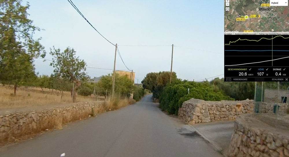
Bis auf die Strecken um Felanitx fährt man auf kleinen, leeren Strassen (überwiegend asphaltiert, aber auch Schotter dabei).

Leider kann man am Castell nur bis zum Eingangstor gehen, so dass der Aussichtsgenuss sehr eingeschränkt ist. Dafür ist die Strecke rauf sehr schön und teilweise ausgeschildert.

Am Santuario kann man oben in einem Lokal schön rast machen, bevor man wieder runter rauscht.

Die echten MTB-Fahrer sind da den Fußweg, der die Strassenserpentinen abkürzt, runter gefahren.


Galerie du tour

Carte du tour et altitude

  • Open Street Map
  • Google
Minimum height 46 m Maximum height 546 m Vue de détail

More about the tour author

Alisee
Member since 2013

Send private message

Commentaires

Als Startpunkt eigenen sich alle Orte an der Küste zwischen Cala d'Or und Porto Colon.

Tracks GPS

Trackpoints
  • GPX / Garmin Map Source (gpx) download
  • TCX / Garmin Training Center® (tcx) download
  • CRS / Garmin Training Center® (crs) download
  • Google Earth (kml) download
  • G7ToWin (g7t) download
  • TTQV (trk) download
  • Overlay (ovl) download
  • Fugawi (txt) download
  • Kompass (DAV) Track (tk) download
  • Feuille de tours (pdf) download
  • Original file of the author (gpx) download

More about the tour author

Alisee
Member since 2013

Send private message
Share track
Add to my favorites
Remove from my favorites
Edit tags
My score
Rate
Tour: Cala Ferrera/Cala d'Or - Castell de Santueri - Santuari S. Salvador rund
Cat.: Trekkingbike
Longueur: 47,8 km
Evaluated on:
Durée:
Day(s)
Hour(s)
Minute(s)
Evaluation: Paysage Aspect amusement Condition Technique