

Wanderung vom Campingplatz (Tirol-Camp) auf dem Leutascher Achenweg (Südvariante)
11 km - 3,5h
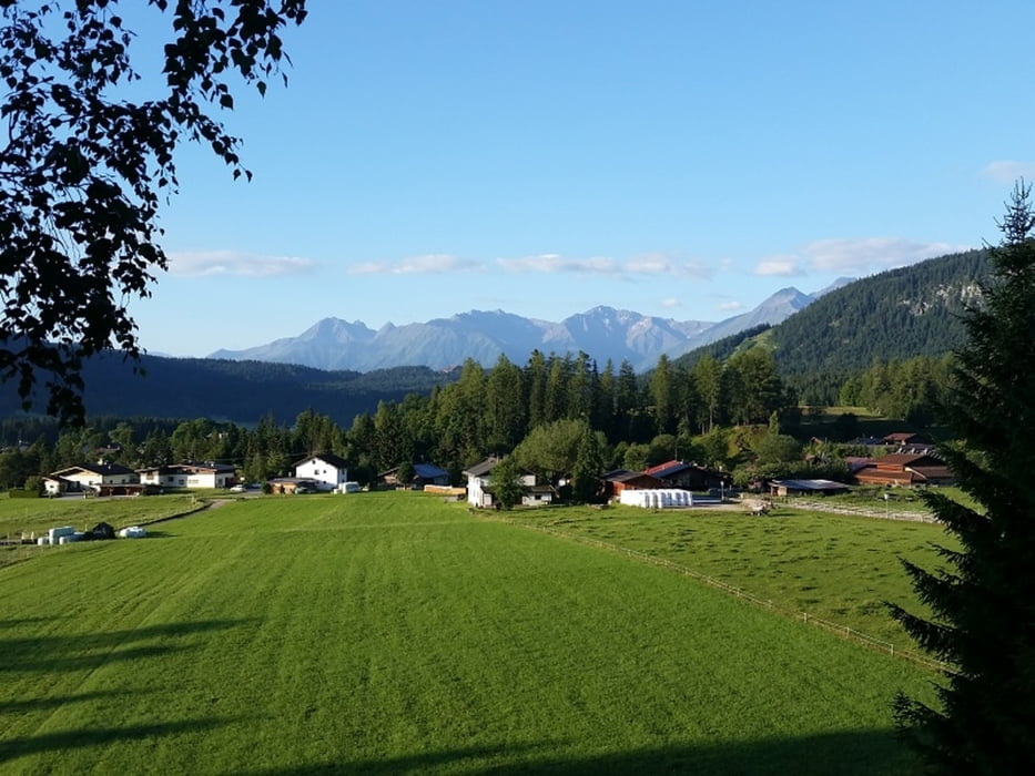
Wir starten am Campingplatz laufen recht zum Hubertushof und suchen den Einstieg. An der Talsenke laufen wir in Richtung Ahrn. Hier gehen wir dann auf dem Adlerweg weiter bis Kirchplatzl.
Hier muss man unbedingt die kleine Kirche besichtigen. Klasse.
Wir queren die Straße und gehen über die Brücke über die Leutascher Ache. Jetzt laufen wir auf dem Achweg zurück. Hier stehen am Wegesrand allerhand Informationstafeln auch die sog. Leutascher Pyramide ist zu bestaunen.
Gemütlich geht es auf dem Achweg zurück nach Reindlau direkt zum Campingplatz.
Fazit:
- sehr schöne Wanderung
Further information at
http://www.leutasch.net/Galerie du tour


Carte du tour et altitude
Minimum height 1074 m
Maximum height 1162 m
More about the tour author
|
|
Stummi |
Commentaires

Tracks GPS
Trackpoints-
GPX / Garmin Map Source (gpx) download
-
TCX / Garmin Training Center® (tcx) download
-
CRS / Garmin Training Center® (crs) download
-
Google Earth (kml) download
-
G7ToWin (g7t) download
-
TTQV (trk) download
-
Overlay (ovl) download
-
Fugawi (txt) download
-
Kompass (DAV) Track (tk) download
-
Feuille de tours (pdf) download
-
Original file of the author (gpx) download
More about the tour author
|
|
Stummi |
Add to my favorites
Remove from my favorites
Edit tags
Open track
My score
Rate