Login

Login oublié ?

Cookies have to be accepted!
Your browser's cookie functionality is disabled. Please enable this functionality.

Not a member yet?

Register now
Login

Available for registred users only

Log in to use this feature.

Login oublié ?

Cookies have to be accepted!
Your browser's cookie functionality is disabled. Please enable this functionality.

Not a member yet?

Register now
Filter
Catégories
Advanced filters
  • Longueur (km)
  • Altimètre
Enregistrer le filtre Reset filter

TrackRank

QRCode

Technical data

Longueur36,7 km Altimètre844 m Way down859 m Durée00:00 h:m Date18.08.2016
Evaluations Author Paysage Aspect amusement Condition Technique

Statistiques

1134 Vues Evaluations 90 Téléchargements Moyenne
Rate
  • Feuille de tours
  • Arrivée
  • Téléchargements
Schöne Tour von Oberteuringen über den Benistobel auf den Höchsten mit einigen kleinen Trails zum Gehrenberg und dann wieder zurück

Further information at
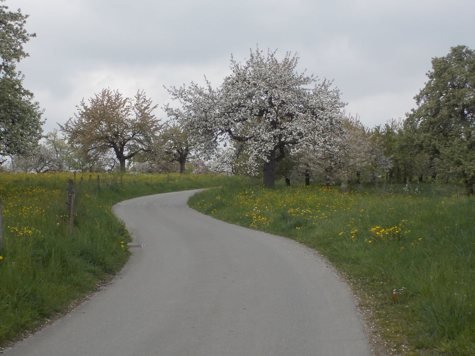
http://www.gehrenberg-bodensee.de/

Galerie du tour

Carte du tour et altitude

  • Open Street Map
  • Google
Minimum height 429 m Maximum height 827 m Vue de détail

More about the tour author

Wayneschlegell
Member since 2010

Send private message

Commentaires

Start in Oberteuringen am Edeka

Tracks GPS

Trackpoints
  • GPX / Garmin Map Source (gpx) download
  • TCX / Garmin Training Center® (tcx) download
  • CRS / Garmin Training Center® (crs) download
  • Google Earth (kml) download
  • G7ToWin (g7t) download
  • TTQV (trk) download
  • Overlay (ovl) download
  • Fugawi (txt) download
  • Kompass (DAV) Track (tk) download
  • Feuille de tours (pdf) download
  • Original file of the author (gpx) download

More about the tour author

Wayneschlegell
Member since 2010

Send private message
Share track
Add to my favorites
Remove from my favorites
Edit tags
My score
Rate
Tour: Höchsten und Gehrenberg mit einigen Trails
Cat.: Mountainbike
Longueur: 36,7 km
Evaluated on:
Durée:
Day(s)
Hour(s)
Minute(s)
Evaluation: Paysage Aspect amusement Condition Technique