Login

Login oublié ?

Cookies have to be accepted!
Your browser's cookie functionality is disabled. Please enable this functionality.

Not a member yet?

Register now
Login

Available for registred users only

Log in to use this feature.

Login oublié ?

Cookies have to be accepted!
Your browser's cookie functionality is disabled. Please enable this functionality.

Not a member yet?

Register now
Filter
Catégories
Advanced filters
  • Longueur (km)
  • Altimètre
Enregistrer le filtre Reset filter

TrackRank

QRCode

Technical data

Longueur42,1 km Altimètre820 m Way down825 m Durée02:22 h:m Date31.08.2016
Evaluations Author Paysage Aspect amusement Condition Technique

Statistiques

194 Vues Evaluations 12 Téléchargements Moyenne
Rate
  • Feuille de tours
  • Arrivée
  • Téléchargements

Die Änderung bezieht sich auf das Weglassen der extrem steilen Abfahrt nach Hirschbach, die diesmal auf Güterwegen stattfand. Das Durchfahren des Soldatenfriedhofes war auch nicht mehr möglich.

Die Fahrzeit bezieht sich auf die Fahrt mit dem E-Bike.
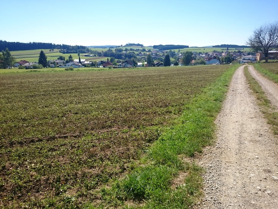
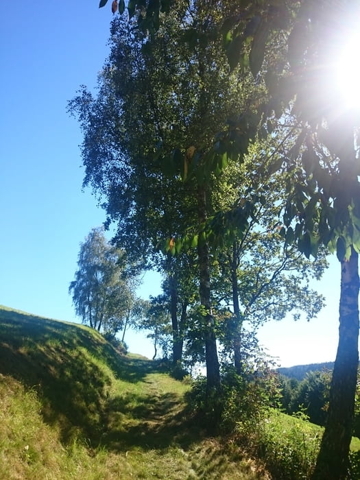


Galerie du tour

Carte du tour et altitude

  • Open Street Map
  • Google
Minimum height 521 m Maximum height 768 m Vue de détail

More about the tour author

rjkas
Member since 2003

Send private message

Commentaires

Tracks GPS

Trackpoints
  • GPX / Garmin Map Source (gpx) download
  • TCX / Garmin Training Center® (tcx) download
  • CRS / Garmin Training Center® (crs) download
  • Google Earth (kml) download
  • G7ToWin (g7t) download
  • TTQV (trk) download
  • Overlay (ovl) download
  • Fugawi (txt) download
  • Kompass (DAV) Track (tk) download
  • Feuille de tours (pdf) download
  • Original file of the author (tcx) download

More about the tour author

rjkas
Member since 2003

Send private message
Share track
Add to my favorites
Remove from my favorites
Edit tags
My score
Rate
Tour: Euregio Radwandertag - Variante
Cat.: Mountainbike
Longueur: 42,1 km
Evaluated on:
Durée:
Day(s)
Hour(s)
Minute(s)
Evaluation: Paysage Aspect amusement Condition Technique