Login

Login oublié ?

Cookies have to be accepted!
Your browser's cookie functionality is disabled. Please enable this functionality.

Not a member yet?

Register now
Login

Available for registred users only

Log in to use this feature.

Login oublié ?

Cookies have to be accepted!
Your browser's cookie functionality is disabled. Please enable this functionality.

Not a member yet?

Register now
Filter
Catégories
Advanced filters
  • Longueur (km)
  • Altimètre
Enregistrer le filtre Reset filter

TrackRank

QRCode

Technical data

Longueur8,9 km Altimètre439 m Way down413 m Durée03:00 h:m Date03.09.2016
Evaluations Author Paysage Aspect amusement Condition Technique

Statistiques

314 Vues Evaluations 22 Téléchargements Moyenne
Rate
  • Feuille de tours
  • Arrivée
  • Téléchargements

Wanderung im hinteren Matschtal bei Mals

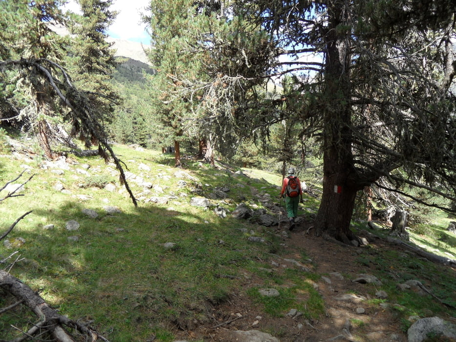
am Talende geht es über Almwiesen hoch zum Vinschgauer Höhenweg (im Uhrzeigersinn gehen). Der Weg ist sehr abwechslungsreich und geht durch Almwiesen und lichte Wälder. Rast an der Matscher Alm. Zurück am Gegenhang, ebenfalls ein schöner Weg. Zum Schluß kommt ein großes Hotel zur Einkehr.


Busverbindung gibt es, fährt aber nur morgens und abends. Der Fahrweg ist gut bis ins Talende


Carte du tour et altitude

  • Open Street Map
  • Google
Minimum height 1754 m Maximum height 2181 m Vue de détail

More about the tour author

skyhopper
Member since 2005

Send private message

Commentaires

parken an Strasse


Tracks GPS

Trackpoints
  • GPX / Garmin Map Source (gpx) download
  • TCX / Garmin Training Center® (tcx) download
  • CRS / Garmin Training Center® (crs) download
  • Google Earth (kml) download
  • G7ToWin (g7t) download
  • TTQV (trk) download
  • Overlay (ovl) download
  • Fugawi (txt) download
  • Kompass (DAV) Track (tk) download
  • Feuille de tours (pdf) download
  • Original file of the author (gpx) download

More about the tour author

skyhopper
Member since 2005

Send private message
Share track
Add to my favorites
Remove from my favorites
Edit tags
My score
Rate
Tour: Matscher Alm
Cat.: Randonnées
Longueur: 8,9 km
Evaluated on:
Durée:
Day(s)
Hour(s)
Minute(s)
Evaluation: Paysage Aspect amusement Condition Technique