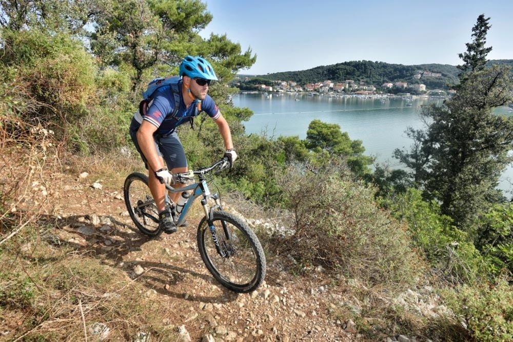
The trail offers an insight into island life and it passes through remote parts of the island, offering a variety of terrains with breathtaking views on the Velebit mountain range, the sea and local roads.
It is intended for riders of moderate fitness, who are able to master the moderately rough and varied terrain.
Staza nudi uvid u otočki život i prolazi zabačenijim dijelovima otoka nudeći raznolikost terena s prekrasnim pogledima na planinski lanac Velebit, more i lokalne puteve.
Namijenjena je vozačima umjerene kondicijske pripreme koji su u mogućnosti savladati umjereno grub i raznolik teren.
Galerie du tour
Carte du tour et altitude
Commentaires

Tracks GPS
Trackpoints-
GPX / Garmin Map Source (gpx) download
-
TCX / Garmin Training Center® (tcx) download
-
CRS / Garmin Training Center® (crs) download
-
Google Earth (kml) download
-
G7ToWin (g7t) download
-
TTQV (trk) download
-
Overlay (ovl) download
-
Fugawi (txt) download
-
Kompass (DAV) Track (tk) download
-
Feuille de tours (pdf) download
-
Original file of the author (gpx) download


