


- Start/Ziel: Toblacher See-Cortina-Toblacher See
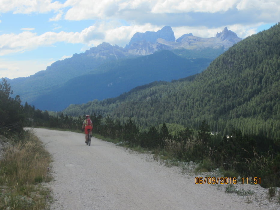
- Durch den Naturpark, auf dem Radweg(Alte Bahntrasse) vom Toblacher See(MH 1.220) durch das Höhlenstein Tal bis zum Dürrensee (KM 8,7-MH 1.390). Weiter bis zum "Passo Cimabanche" (KM 14,1-MH 1.523) dem höchsten Punkt der Tour. Auf dem Pass befindet sich eine gemütliche Holzhütte, in welcher Spezialitäten vom Holzkohlengrill angeboten werden. Auf dem Rückweg von Cortina ist es ideal dort erwas zu essen, da es bis zum Ausgangspunkt, dem Toblacher See, nur noch bergab geht. Wendepunkt Cortina (KM 27,2-MH 1.235). Von Cortina auf Schotter zurück zum Startpunkt, dem Toblacher See(KM 54,6-MH 1.220).
- PS. Auf einem Flyer habe ich die Anzeige eines Rückholdienstes für Radler gesehen: Auf Vormerkung +39.0436867350.
- Weitere schöne Touren im Pustertal mit Luftaufnahmen incl. GPS-Daten: "Mountainbiken in den Dolomiten-Bd.2" von Mauro Tumler/Verlag: www.tappeiner.it
Galerie du tour


Carte du tour et altitude
Minimum height 1175 m
Maximum height 1525 m
More about the tour author
|
|
MargesinFriedrich |
Commentaires

Tracks GPS
Trackpoints-
GPX / Garmin Map Source (gpx) download
-
TCX / Garmin Training Center® (tcx) download
-
CRS / Garmin Training Center® (crs) download
-
Google Earth (kml) download
-
G7ToWin (g7t) download
-
TTQV (trk) download
-
Overlay (ovl) download
-
Fugawi (txt) download
-
Kompass (DAV) Track (tk) download
-
Feuille de tours (pdf) download
-
Original file of the author (gpx) download
More about the tour author
|
|
MargesinFriedrich |
Add to my favorites
Remove from my favorites
Edit tags
Open track
My score
Rate