
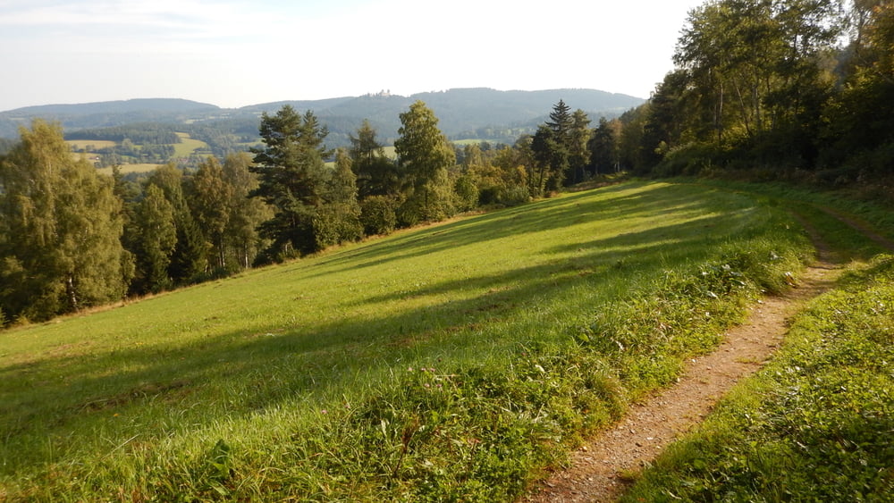

Projížďka krásným a zapomenutým koutem Šumavy. Začátek je v Kašperských Horách, kde je cca 500 m od náměstí směr Hartmanice bezplatné parkoviště. Cesta vede většinou po lesních cestách a pěšinách. Místy je potřeba tlačit (do 100 m) . Na trase najdete několik občerstvoven otevřených hlavně o víkendu. Na trase jsme našli nádherný penzionek s restaurací a vyníkajícím pivem Pod Sedlem. Trasa díky převýšení a občas složitějšímu terénu není pro každého. Dobře využijete i full. Pokud máte rádi nádherné šumavské louky a hluboké lesy bez lidí, doporučujeme.
Carte du tour et altitude
Minimum height 538 m
Maximum height 1058 m
More about the tour author

|
supikx |
Commentaires

Tracks GPS
Trackpoints-
GPX / Garmin Map Source (gpx) download
-
TCX / Garmin Training Center® (tcx) download
-
CRS / Garmin Training Center® (crs) download
-
Google Earth (kml) download
-
G7ToWin (g7t) download
-
TTQV (trk) download
-
Overlay (ovl) download
-
Fugawi (txt) download
-
Kompass (DAV) Track (tk) download
-
Feuille de tours (pdf) download
-
Original file of the author (gpx) download
More about the tour author
|
|
supikx |
Add to my favorites
Remove from my favorites
Edit tags
Open track
My score
Rate