
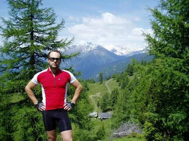

schöne MTB in Unteren Mölltal, Wunderbare Sicht auf den Ankogel, und Kreuzeck
Further information at
http://www.gaestehaus-graf.atGalerie du tour

Carte du tour et altitude
Minimum height 645 m
Maximum height 1872 m
More about the tour author

|
mastergraf |
Commentaires

Ausgangspunkt ist das Gästehaus Graf
www.gaestehaus-graf.at
Auto:
von Salzburg: Tauernautobahn A10, Abfahrt Lendorf, weiter Richtung Mölltal (Mallnitz) über Möllbrücke, Mühldorf bis Reißeck
von Süden: Grenzübergang Tarvisio, Autobahn Villach, Spittal, Abfahrt Mallnitz, weiter bis Reißeck
Bahn: Mit Bahn nach Spittal Millstätter See und von dort mittels Regionalzug oder Bus nach Kolbnitz
Tracks GPS
Trackpoints-
GPX / Garmin Map Source (gpx) download
-
TCX / Garmin Training Center® (tcx) download
-
CRS / Garmin Training Center® (crs) download
-
Google Earth (kml) download
-
G7ToWin (g7t) download
-
TTQV (trk) download
-
Overlay (ovl) download
-
Fugawi (txt) download
-
Kompass (DAV) Track (tk) download
-
Feuille de tours (pdf) download
-
Original file of the author (g7t) download
More about the tour author
|
|
mastergraf |
Add to my favorites
Remove from my favorites
Edit tags
Open track
My score
Rate