
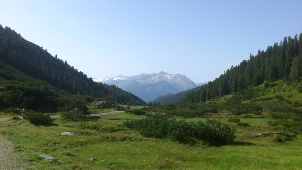

Start ion Oberndorf in Tirol. Wir fahren übers Bichlach nach Reith bei Kitzbühel und entlang des Radweges über Kirchberg, Brixen im Thale nach Westensdorf. Dort entlang der Dorfstraße Richtung Windau. Bis zum Gasthaus Gamskogelhütte in der Windau verläuft die Strecke gleichmäßig. Ab der Gamskogelhütte erfolt der Anstieg auf die Filzenscharte 7,2 km und 622 Höhenmeter. Dann weiter über einen Fußweg das Rad ca. 20 Minuten Schultern. Abfahrt ins Tal. Wir erreichen den Ort Wald im Pinzgau wo wir den Pinzgauer Radweg entlang der Salzach bis Hollersbach nehmen. Um den Aufstieg entlang der Bundesstraße zu vermeiden nehmen wir die Panorama Bahn bis zum Resterkogel. Nach einer Kurzen Rast im Pinzga Blick geht es Weiter entlang der Landesgrenze Salzburg und Tirol bis zúr Trattenbachalm und entlang des Trattenbaches nach Jochberg Wald wo wir den Radweg nach Kitzbühel nehmen.
Maximale Steigung 26°
M;aximale Neigung -16°
Galerie du tour

Carte du tour et altitude
Minimum height 737 m
Maximum height 1960 m
More about the tour author
|
|
hetzenauerm |
Commentaires

Tracks GPS
Trackpoints-
GPX / Garmin Map Source (gpx) download
-
TCX / Garmin Training Center® (tcx) download
-
CRS / Garmin Training Center® (crs) download
-
Google Earth (kml) download
-
G7ToWin (g7t) download
-
TTQV (trk) download
-
Overlay (ovl) download
-
Fugawi (txt) download
-
Kompass (DAV) Track (tk) download
-
Feuille de tours (pdf) download
-
Original file of the author (gpx) download
More about the tour author
|
|
hetzenauerm |
Add to my favorites
Remove from my favorites
Edit tags
Open track
My score
Rate