


Wunderschöne Tour zum Col de Turniol.
Ausgangspunkt ist das pittoreske Saint-Nazaire-en-Royans. Durch leicht hügelige Landschaft und auf Straße mit mäßigem Verkehr gelangt man ins verschlafene Städtchen Saint-Jean-En-Royans. Hier lohnt sich's noch mal Wasser zu tanken bevor man auf steiler Bergstraße in die Einschicht taucht. Die Strapazen des ca. 10 km langen Anstiegs bis zur Auberge de Leoncel werden mit wild romatischer Landschaft und gutem Essen belohnt. Auch eine kurze Besichtigung der Abbey Cistercienne de Leoncel zahlt sich aus.
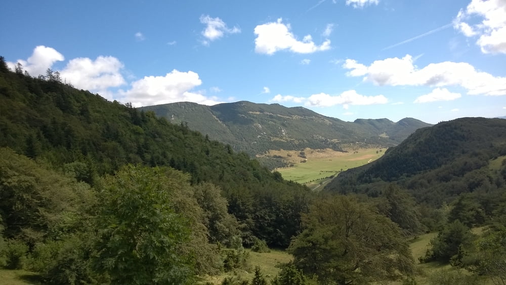
Weiter geht's die restlichen Höhenmeter steil bergauf zum Col de Turniol. Dort warten beeindruckende Steilabbrüche mit herrlichen Ausblicken ins weite Flußtal der Isere. An klaren Tagen kann man im Westen das Zentralmassiv und im Osten die Alpen bestaunen.
Die Abfahrt ist aufregend und ein Genuss bis nach Romans-sur-Isere (ca. 1000 m).
Galerie du tour


Carte du tour et altitude
Minimum height 139 m
Maximum height 1145 m
More about the tour author

|
Manu191357 |
Commentaires

- Per Bahn oder Auto bis Saint-Nazaire-en-Royans
- Gute und häufige Züge von Romans-Sur-Isere nach Saint-Nazaire-en-Royans und retour
Tracks GPS
Trackpoints-
GPX / Garmin Map Source (gpx) download
-
TCX / Garmin Training Center® (tcx) download
-
CRS / Garmin Training Center® (crs) download
-
Google Earth (kml) download
-
G7ToWin (g7t) download
-
TTQV (trk) download
-
Overlay (ovl) download
-
Fugawi (txt) download
-
Kompass (DAV) Track (tk) download
-
Feuille de tours (pdf) download
-
Original file of the author (gpx) download
More about the tour author
|
|
Manu191357 |
Add to my favorites
Remove from my favorites
Edit tags
Open track
My score
Rate