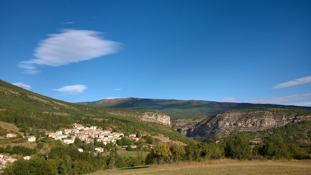
Herrliche Halbtagestour durch die Schluchten der Meouge
Glas klares Wasser, Badegumpen laden zum Baden ein, leichter müheloser Anstieg bis nach Lachau, kurze Rast, dann etwas steiler aber kurzer Anstieg bis zum Col d'Araud.
Abfahrt zurück ins Meouge Tal vorbei an Saleran und retour bis zum Ausgangspunkt.
Galerie du tour
Carte du tour et altitude
Minimum height 541 m
Maximum height 890 m
Commentaires

Per Auto bis Le Plan (D124 x D942)
Tracks GPS
Trackpoints-
GPX / Garmin Map Source (gpx) download
-
TCX / Garmin Training Center® (tcx) download
-
CRS / Garmin Training Center® (crs) download
-
Google Earth (kml) download
-
G7ToWin (g7t) download
-
TTQV (trk) download
-
Overlay (ovl) download
-
Fugawi (txt) download
-
Kompass (DAV) Track (tk) download
-
Feuille de tours (pdf) download
-
Original file of the author (gpx) download
Add to my favorites
Remove from my favorites
Edit tags
Open track
My score
Rate


