
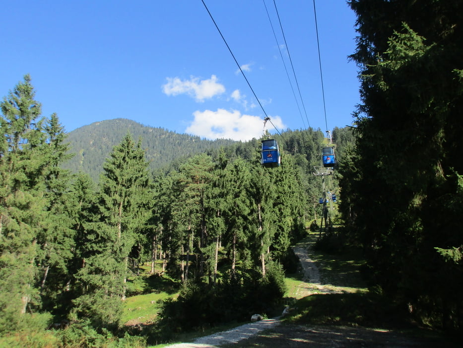

Eine kleine Feierabendrunde in Partenkirchen: Wir parken unser Auto bei der Talstation der Wankbahn und spazieren von dort bergauf Richtung Gasthof Panorama. Es geht stetig bergauf, aber nicht allzu lange. Wir passieren die Wankbahn, deren Gondeln über uns wegziehen. Vorbei am Hochseilgarten Kletterwald geht es noch ein Stück bergauf, dann dürfen wir auf dem Esterberger Weg schon wieder bergab spazieren. Der Alpengasthof Panorama mit seinem tollen Ausblick auf Garmisch-Partenkirchen und Zug- und vor allem Alpspitze wird passiert und wir kommen zum kleinen Franziskaner-Kloster St. Anton. Hier halten wir uns rechts, es geht nun auf dem Philosophenweg weiter. Ein schmaler Pfad ist nun unser Begleiter und er führt uns knapp oberhalb von Partenkirchen durch den Wald zurück zur Talstation der Wankbahn, wo sich unser Spazierkreis schließt.
Galerie du tour


Carte du tour et altitude
Minimum height 725 m
Maximum height 820 m
More about the tour author
|
|
Sigi2910 |
Commentaires

Tracks GPS
Trackpoints-
GPX / Garmin Map Source (gpx) download
-
TCX / Garmin Training Center® (tcx) download
-
CRS / Garmin Training Center® (crs) download
-
Google Earth (kml) download
-
G7ToWin (g7t) download
-
TTQV (trk) download
-
Overlay (ovl) download
-
Fugawi (txt) download
-
Kompass (DAV) Track (tk) download
-
Feuille de tours (pdf) download
-
Original file of the author (gpx) download
More about the tour author
|
|
Sigi2910 |
Add to my favorites
Remove from my favorites
Edit tags
Open track
My score
Rate