Von Glüder ausgehend, wenn man im Uhrzeigersinn läuft, immer bergauf. Durch sehr schöne Landschaft auf der Höhe entlang. Höhenweg oberhalb der Wupper. Bergab zur Wupper und wieder oberhalb der Wupper auf einem Höhenweg zurück zum Ausgangspunkt.
Die Tour ist trotz der geringen Länge anstrengend. Ohne gute Wanderschuhe nicht zu empfehlen.
Viel Spaß
Galerie du tour
Carte du tour et altitude
Minimum height 86 m
Maximum height 217 m
Commentaires

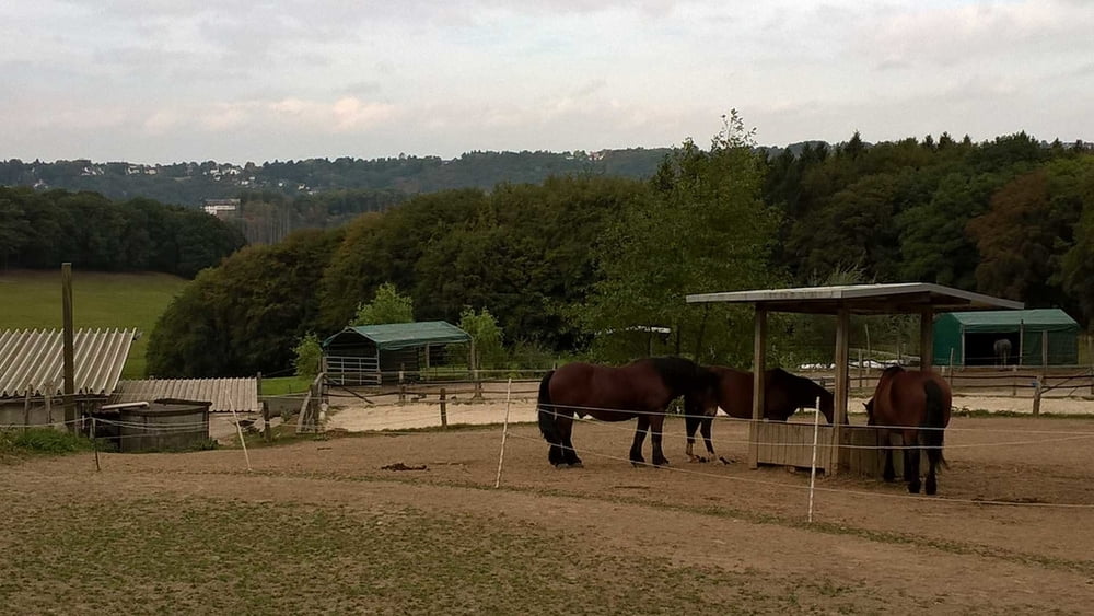
Hinter dem Campingplatz Glüder Richtung Wermelskirchen, auf der linken Seite!
Tracks GPS
Trackpoints-
GPX / Garmin Map Source (gpx) download
-
TCX / Garmin Training Center® (tcx) download
-
CRS / Garmin Training Center® (crs) download
-
Google Earth (kml) download
-
G7ToWin (g7t) download
-
TTQV (trk) download
-
Overlay (ovl) download
-
Fugawi (txt) download
-
Kompass (DAV) Track (tk) download
-
Feuille de tours (pdf) download
-
Original file of the author (gpx) download
Add to my favorites
Remove from my favorites
Edit tags
Open track
My score
Rate


