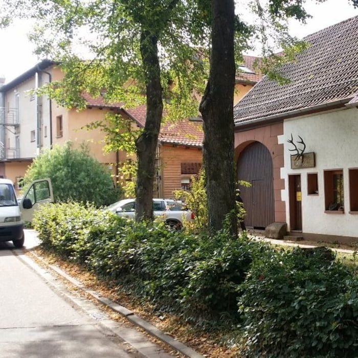
Vom Cramerhaus führt die Tour zunächst zum Rötzenberg, weiter Richtung Dimbach und von dort wieder zurück. Wer noch nicht auf dem Lindelbrunn war der sollte vor der Einkehr im Cramerhaus noch diese Burgruine besuchen. Da wir schon so oft dort oben waren sind wir bei dieser Tour nicht hoch gelaufen – was jedoch zu empfehlen ist wenn man noch nicht dort war.
Galerie du tour
Carte du tour et altitude
Minimum height 236 m
Maximum height 467 m
Commentaires

Tracks GPS
Trackpoints-
GPX / Garmin Map Source (gpx) download
-
TCX / Garmin Training Center® (tcx) download
-
CRS / Garmin Training Center® (crs) download
-
Google Earth (kml) download
-
G7ToWin (g7t) download
-
TTQV (trk) download
-
Overlay (ovl) download
-
Fugawi (txt) download
-
Kompass (DAV) Track (tk) download
-
Feuille de tours (pdf) download
-
Original file of the author (gpx) download
Add to my favorites
Remove from my favorites
Edit tags
Open track
My score
Rate


