Login

Login oublié ?

Cookies have to be accepted!
Your browser's cookie functionality is disabled. Please enable this functionality.

Not a member yet?

Register now
Login

Available for registred users only

Log in to use this feature.

Login oublié ?

Cookies have to be accepted!
Your browser's cookie functionality is disabled. Please enable this functionality.

Not a member yet?

Register now
Filter
Catégories
Advanced filters
  • Longueur (km)
  • Altimètre
Enregistrer le filtre Reset filter

TrackRank

QRCode

Technical data

Longueur10,7 km Altimètre333 m Way down340 m Durée00:00 h:m Date01.10.2016
Evaluations Author Paysage Aspect amusement Condition Technique

Statistiques

568 Vues Evaluations 51 Téléchargements Moyenne
Rate
  • Feuille de tours
  • Arrivée
  • Téléchargements
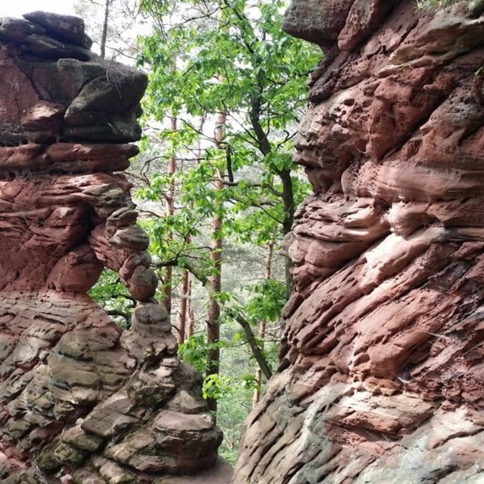
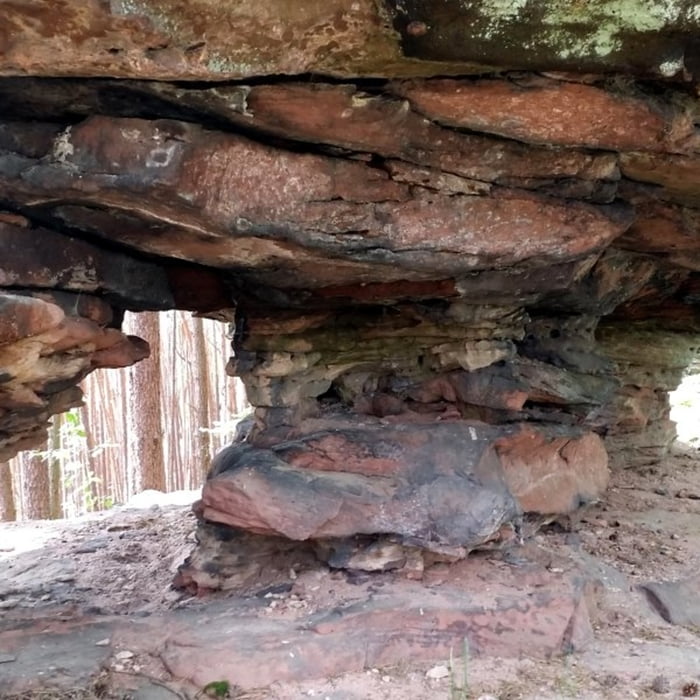
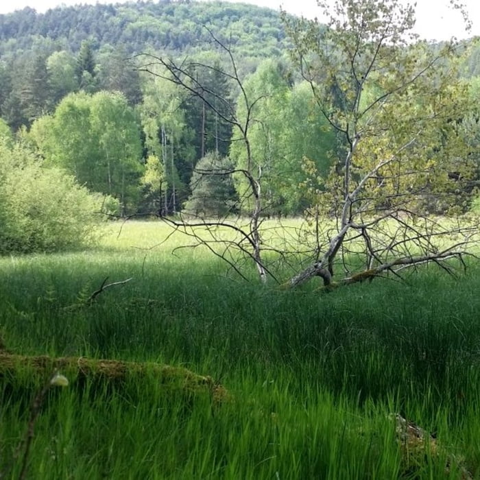
Die Tour beginnt am Bahnhöfle Reichenbach bei Dahn, führt entlang an sehr schönen Felsformationen und wieder zurück zum Bahnhöfle.

Galerie du tour

Carte du tour et altitude

  • Open Street Map
  • Google
Minimum height 192 m Maximum height 362 m Vue de détail

More about the tour author

isg13
Member since 2010

Send private message

Commentaires

Tracks GPS

Trackpoints
  • GPX / Garmin Map Source (gpx) download
  • TCX / Garmin Training Center® (tcx) download
  • CRS / Garmin Training Center® (crs) download
  • Google Earth (kml) download
  • G7ToWin (g7t) download
  • TTQV (trk) download
  • Overlay (ovl) download
  • Fugawi (txt) download
  • Kompass (DAV) Track (tk) download
  • Feuille de tours (pdf) download
  • Original file of the author (gpx) download

More about the tour author

isg13
Member since 2010

Send private message
Share track
Add to my favorites
Remove from my favorites
Edit tags
My score
Rate
Tour: Pfälzer Rundwanderung mit Einkehr - Bahnhöfle
Cat.: Randonnées
Longueur: 10,7 km
Evaluated on:
Durée:
Day(s)
Hour(s)
Minute(s)
Evaluation: Paysage Aspect amusement Condition Technique