


Leichte Rundwanderung zur Werdenfelser Burgruine und zum Pflegersee. Die Tour verläuft meist auf breiten Schotterwegen und Pfade.
Unsere Wanderung starten wir in der nähe vom Grand Hotel Sonnenbichl im Wohngebiet. Dort parkten wir auch. Wir laufen zur Bundesstraße und biegen bei der Beschilderung zur Burgruine links ab.
Bei der Ruine kann man eine schöne Aussicht genießen und kurz rasten.
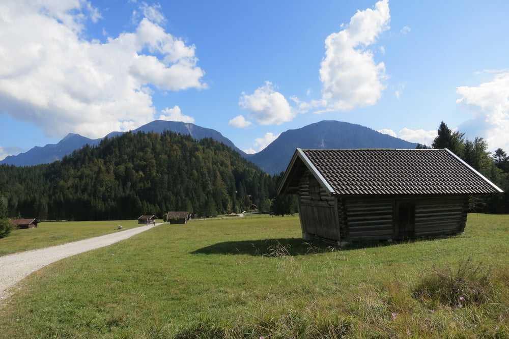
Weiter geht es auf einen Pfad zum Pflegersee. Dort sieht man am Ufer des Sees Karpfen.
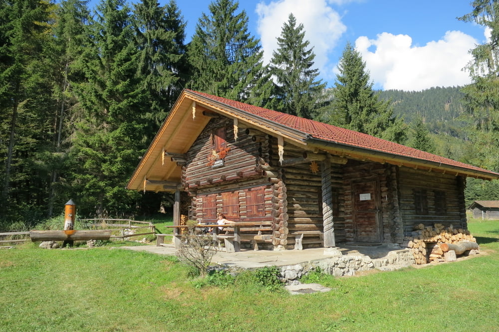
Wir gehen weiter zu den Buckelwiesen und machen eine ausgiebige Rast bei der Diessener Hütte, die nicht bewirtschaftet ist.
Weiter geht es bergab und am Ortsrand auf einem Wiesenweg, am Golfplatz vorbei. Ein kurzes Stück müssen wir auf einem Pfad hoch und zurück zum Ausgangspunkt.
http://www.gapa.de/Burgruine_Werdenfels/
Further information at
http://www.gapa.de/Burgruine_Werdenfels/Galerie du tour


Carte du tour et altitude
Minimum height 663 m
Maximum height 918 m
More about the tour author
|
|
W-C |
Commentaires

Anfahrt:
Parken: Im Wohngebiet
Thomas–Knorr-Straße ca. 200 Meter vom Grand Hotel Sonnenbichl entfernt.
Parkplatz Koordinaten:
N47° 30.385' E11° 05.164'
Tracks GPS
Trackpoints-
GPX / Garmin Map Source (gpx) download
-
TCX / Garmin Training Center® (tcx) download
-
CRS / Garmin Training Center® (crs) download
-
Google Earth (kml) download
-
G7ToWin (g7t) download
-
TTQV (trk) download
-
Overlay (ovl) download
-
Fugawi (txt) download
-
Kompass (DAV) Track (tk) download
-
Feuille de tours (pdf) download
-
Original file of the author (gpx) download
More about the tour author
|
|
W-C |
Add to my favorites
Remove from my favorites
Edit tags
Open track
My score
Rate