Login

Login oublié ?

Cookies have to be accepted!
Your browser's cookie functionality is disabled. Please enable this functionality.

Not a member yet?

Register now
Login

Available for registred users only

Log in to use this feature.

Login oublié ?

Cookies have to be accepted!
Your browser's cookie functionality is disabled. Please enable this functionality.

Not a member yet?

Register now
Filter
Catégories
Advanced filters
  • Longueur (km)
  • Altimètre
Enregistrer le filtre Reset filter

TrackRank

QRCode

Technical data

Longueur7,5 km Altimètre874 m Way down207 m Durée02:15 h:m Date21.10.2016
Evaluations Author Paysage Aspect amusement Condition Technique

Statistiques

761 Vues Evaluations 5 Téléchargements Moyenne
Rate
  • Feuille de tours
  • Arrivée
  • Téléchargements

Achtung:
Der Weg ist blau-weiß markiert (Trittsicherheit und Schwindelfreiheit erforderlich!)

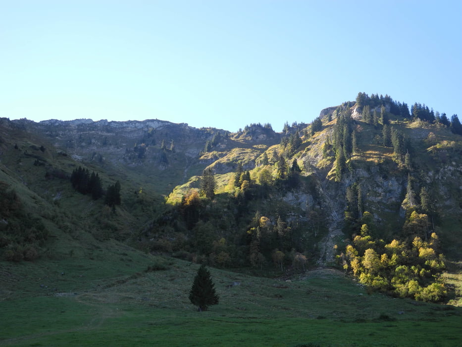
Der Kaspar Felder Weg wurde neu angelegt.

www.alpenverein.at/vorarlberg-bezirk-egg/alben/alben_2015/2015_08_02_KasparFelderWeg/

Galerie du tour

Carte du tour et altitude

  • Open Street Map
  • Google
Minimum height 967 m Maximum height 1766 m Vue de détail

More about the tour author

xlink
Member since 2010

Send private message

Commentaires

Tracks GPS

Trackpoints
  • GPX / Garmin Map Source (gpx) download
  • TCX / Garmin Training Center® (tcx) download
  • CRS / Garmin Training Center® (crs) download
  • Google Earth (kml) download
  • G7ToWin (g7t) download
  • TTQV (trk) download
  • Overlay (ovl) download
  • Fugawi (txt) download
  • Kompass (DAV) Track (tk) download
  • Feuille de tours (pdf) download
  • Original file of the author (gpx) download

More about the tour author

xlink
Member since 2010

Send private message
Share track
Add to my favorites
Remove from my favorites
Edit tags
My score
Rate
Tour: Schetteregg Amagmach - Kaspar Felder Weg - Triestenkopf - Niedere - Baumgartenhöhe
Cat.: Randonnées
Longueur: 7,5 km
Evaluated on:
Durée:
Day(s)
Hour(s)
Minute(s)
Evaluation: Paysage Aspect amusement Condition Technique