


Tourendatum: 31.10.2016
Tourensteckbrief:
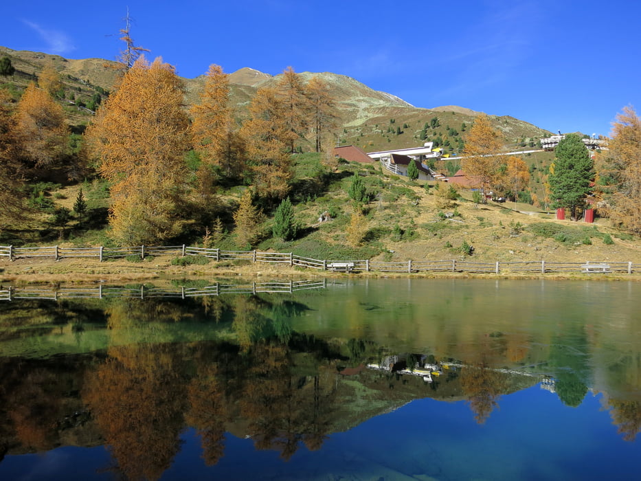
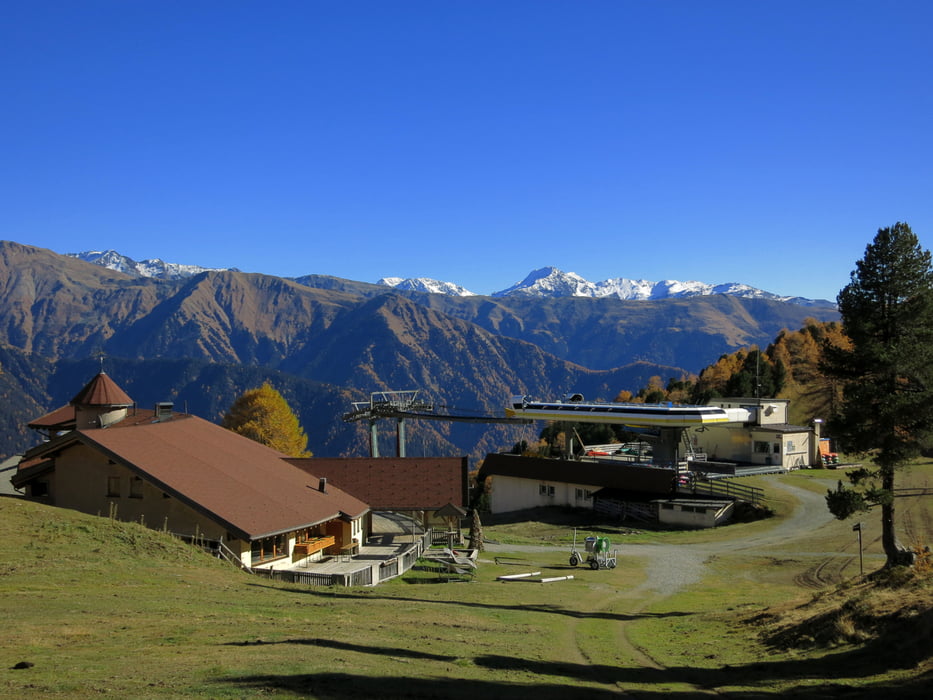
Kleine, einfache Runde vom Staudamm des Reschensees (1500) über teils asphaltierte Straßen, teils Sandstraßen zur Haideralm (2150) hinauf. Die Abfahrt erfolgt z.T. über steile Fahrwegpassagen, meist aber auf guten Sandstraßen, zuletzt auf Asphalt nach St. Valentin und zurück zum Reschensee. In dem Gebiet gibt es eine Vielzahl markierter Trailabfahrten.
Further information at
https://photos.google.com/share/AF1QipMGtJ27KLfnagKUYlycSolOO4dzO-rOhownAS6fRz19mFP-iKQ46x0Lgmx7VH7d5Q?key=YUJZVXRQLXZSQU8tcHA3NGRtcnRaOW4xVnFTdkF3Galerie du tour


Carte du tour et altitude
Minimum height 1469 m
Maximum height 2157 m
More about the tour author
|
|
Eimy |
Commentaires

Inntalautobahn - Kufstein - Innsbruck - Landeck; weiter zum Reschenpass; jenseits des Passes zum Reschensee; PP direkt am Beginn des Staudammes am Südende des Sees.
Tracks GPS
Trackpoints-
GPX / Garmin Map Source (gpx) download
-
TCX / Garmin Training Center® (tcx) download
-
CRS / Garmin Training Center® (crs) download
-
Google Earth (kml) download
-
G7ToWin (g7t) download
-
TTQV (trk) download
-
Overlay (ovl) download
-
Fugawi (txt) download
-
Kompass (DAV) Track (tk) download
-
Feuille de tours (pdf) download
-
Original file of the author (gpx) download
More about the tour author
|
|
Eimy |
Add to my favorites
Remove from my favorites
Edit tags
Open track
My score
Rate