


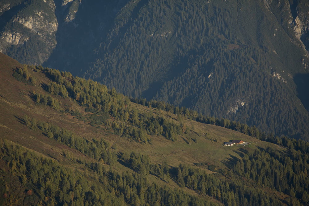
Ausgewogene Almtour führt Sie von Schnann an den Fuß des Hohen Rifflers. Folgen Sie dem Fahrweg von der Kirche südwärts über die Rosanna der Beschilderung Richtung Ganatschalm. Durch dir Unterführung der Eisenbahn und über den Wiesenweg auf den Fahrweg. Idealerweise fährt man hier an einem warmen Sommertag hinauf, wenn der Wald ausreichend Schatten spendet. Oben wird man mit einem herrlichen Ausblick über den Talkessel Landeck und die Parseiergruppe belohnt.
Further information at
http://maps.stantonamarlberg.com/de/?resource=27456101&mapType=gdi_summerGalerie du tour
Carte du tour et altitude
Minimum height 1162 m
Maximum height 1856 m
More about the tour author

|
sommerkarte |
Commentaires

Tracks GPS
Trackpoints-
GPX / Garmin Map Source (gpx) download
-
TCX / Garmin Training Center® (tcx) download
-
CRS / Garmin Training Center® (crs) download
-
Google Earth (kml) download
-
G7ToWin (g7t) download
-
TTQV (trk) download
-
Overlay (ovl) download
-
Fugawi (txt) download
-
Kompass (DAV) Track (tk) download
-
Feuille de tours (pdf) download
-
Original file of the author (gpx) download
More about the tour author
|
|
sommerkarte |
Add to my favorites
Remove from my favorites
Edit tags
Open track
My score
Rate