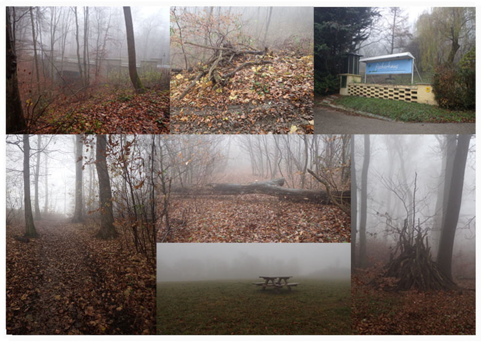
Parken am großen Parkplatz am Ende der Höhenstraße
N48.26355° E16.32183°
Hier lädt auch gleich ein nettes Kaffee-Restaurant nach der Wanderung für eine nette kleine Rastpause ein.
Cobenzl Cafe-Restaurant
Am Cobenzl 94
1190 Wien
https://goo.gl/maps/M9hvGVwzp8Q2
Die Wanderung ist abwechslungsreich und ohne große Anstrengung zu
bewältigen.
Für einen Familienausflug allemal geeignet.
Galerie du tour
Carte du tour et altitude
Minimum height 314 m
Maximum height 489 m
Commentaires

über Google Maps, Routeplaner
Ziel:
N48.26355° E16.32183°
Tracks GPS
Trackpoints-
GPX / Garmin Map Source (gpx) download
-
TCX / Garmin Training Center® (tcx) download
-
CRS / Garmin Training Center® (crs) download
-
Google Earth (kml) download
-
G7ToWin (g7t) download
-
TTQV (trk) download
-
Overlay (ovl) download
-
Fugawi (txt) download
-
Kompass (DAV) Track (tk) download
-
Feuille de tours (pdf) download
-
Original file of the author (gpx) download
Add to my favorites
Remove from my favorites
Edit tags
Open track
My score
Rate


