Start an der Mittelstation des Doppelsesselliftes Bichlalm am Tourengeher Parkplatz auf 1209 Meter Seehöhe. Bei wenig Schnee Aufstieg entlang der Piste Nr. 50.
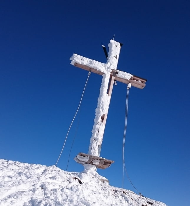
Bei guter Schneelage entlang des GPS Tracks die Sonne im Süden entlang der Lifttrasse bis zum Gasthof Bichlalm. Dann weiter der Route folgend bis zum Gipfel des Stuckkogel auf 1925 Meter Seehöhe.
Galerie du tour
Carte du tour et altitude
Minimum height 1209 m
Maximum height 1925 m
Commentaires

Tracks GPS
Trackpoints-
GPX / Garmin Map Source (gpx) download
-
TCX / Garmin Training Center® (tcx) download
-
CRS / Garmin Training Center® (crs) download
-
Google Earth (kml) download
-
G7ToWin (g7t) download
-
TTQV (trk) download
-
Overlay (ovl) download
-
Fugawi (txt) download
-
Kompass (DAV) Track (tk) download
-
Feuille de tours (pdf) download
-
Original file of the author (gpx) download
Add to my favorites
Remove from my favorites
Edit tags
Open track
My score
Rate


