


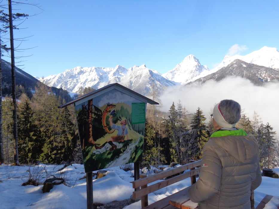
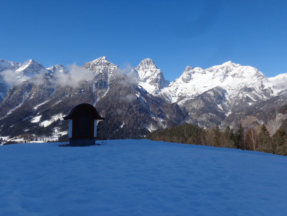
Vom Poppengut durch den Wald hoch zur Mautstraße. Neben der Straße aufwärts bis zum ehemaligen Mauthäusl. Hier rechts; vorbei am Bauernhof Fröstl zur "Hannes-Trinkl-Weltcupstrecke". Beim Schutzzaun links hoch bis zu dessen Ende. Die Piste überqueren und gerdeaus weiter auf der Forststraße bis zum Geislitzkogel (2 Std.). Über den Westhang hinunter zum Rinnergut, die Landstraße überqueren und entlang der Steyr flussaufwärts bis zur Brücke. Auf der anderen Flusseite zum Schiederweiher (1 1/4 Std.). Auf dem Flötzersteig zum Dorf, über die Brücke und beim GH Jaidhäusl links. Kurz darauf ist wieder das Poppengut erreicht (1 1/4 Std.).
Bei wenig Schnee empfiehlt es sich, ab dem Schiederweiher die Trasse der Langlaufloipe zu benutzen.
Further information at
http://hinterstoder.at/cms/Galerie du tour
Carte du tour et altitude
Minimum height 572 m
Maximum height 853 m

Commentaires

Auf der Autobahn A9 bis zur Ausfahrt Pankraz. Links nach Hinterstoder abzweigen. Am Ortsanfang links Richtung Vorderstoder zum Poppengut.
Tracks GPS
Trackpoints-
GPX / Garmin Map Source (gpx) download
-
TCX / Garmin Training Center® (tcx) download
-
CRS / Garmin Training Center® (crs) download
-
Google Earth (kml) download
-
G7ToWin (g7t) download
-
TTQV (trk) download
-
Overlay (ovl) download
-
Fugawi (txt) download
-
Kompass (DAV) Track (tk) download
-
Feuille de tours (pdf) download
-
Original file of the author (gpx) download
Add to my favorites
Remove from my favorites
Edit tags
Open track
My score
Rate