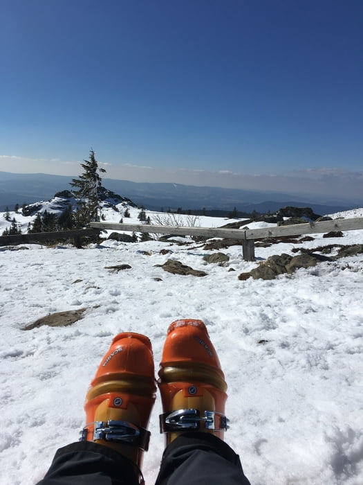
Nicht gerade ein alpinistisches Highlight, aber zum Training ganz ok. Gerade wenn die Autobahnen zu den Alpen verstopft sind geht’s unproblematisch in den Bayerischen Wald.
Hab mich eigentlich nur zur Gaudi an den Pisten und abseits im Wald herumgetrieben, bis ich ein paar „Jungs“ hinter der Bergkapelle aufsteigen sah.
Bin dann kurzentschlossen den Aufstiegsspuren gefolgt und an den Arbersee runtergefahren…ganz nette Abfahrt und beim Aufstieg hab ich mir eine eigene Spur gemacht…auch ganz nett und vor allem ganz alleine. Wieder oben angelangt hatte ich dann rund 1370 Höhenmeter in den Beinen, bin dann aber zum Apres-Weissbier zum Arber Stadl abgefahren und habs mir schmecken lassen. Zur Beruhigung der Bergbahnbetreiber habe ich mir dann noch eine 2-Std. - Karte gekauft - Pisten waren top in Schuß :) Viel Spaß
Further information at
http://www.arber.de/skigebiet/bergbahnen.htmlGalerie du tour
Carte du tour et altitude
Commentaires

Tracks GPS
Trackpoints-
GPX / Garmin Map Source (gpx) download
-
TCX / Garmin Training Center® (tcx) download
-
CRS / Garmin Training Center® (crs) download
-
Google Earth (kml) download
-
G7ToWin (g7t) download
-
TTQV (trk) download
-
Overlay (ovl) download
-
Fugawi (txt) download
-
Kompass (DAV) Track (tk) download
-
Feuille de tours (pdf) download
-
Original file of the author (gpx) download


