


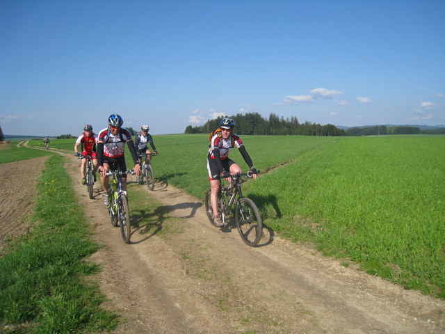
Schöne Mühlviertelrunde mit Gipelkreuz am Hirtstein.
Ausgehend vom Ortszentrum Untergeng,Zwettl an der Rodl - Schenkenfelden über den Nordwaldkammweg auf den Hirtstein und nach Hirschbach, von dort über den Kräuterwanderweg nach Ottenschlag. Weiter gehts bergab nach Reichenau und wieder bergauf über Wirth nach Hellmonsödt - Glasau durch den Schauerwald wieder zurück nach Untergeng.
Ausgehend vom Ortszentrum Untergeng,Zwettl an der Rodl - Schenkenfelden über den Nordwaldkammweg auf den Hirtstein und nach Hirschbach, von dort über den Kräuterwanderweg nach Ottenschlag. Weiter gehts bergab nach Reichenau und wieder bergauf über Wirth nach Hellmonsödt - Glasau durch den Schauerwald wieder zurück nach Untergeng.
Galerie du tour
Carte du tour et altitude
Minimum height 475 m
Maximum height 884 m
More about the tour author
|
|
andidandi |
Commentaires

Tracks GPS
Trackpoints-
GPX / Garmin Map Source (gpx) download
-
TCX / Garmin Training Center® (tcx) download
-
CRS / Garmin Training Center® (crs) download
-
Google Earth (kml) download
-
G7ToWin (g7t) download
-
TTQV (trk) download
-
Overlay (ovl) download
-
Fugawi (txt) download
-
Kompass (DAV) Track (tk) download
-
Feuille de tours (pdf) download
-
Original file of the author (gpx) download
More about the tour author
|
|
andidandi |
Add to my favorites
Remove from my favorites
Edit tags
Open track
My score
Rate