

Wanderung im Bodensee Hinterland, teils auf dem Premium Wanderweg der Bodensee Landgänge.
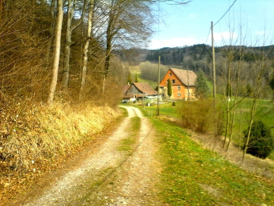
Start in Deggenhausen, und auf der Westlichen Talseite bis Ellenfurt. Nun geht es bergwärts auf HW 7 zum Höchsten. Hier gibt es eine Sicht über das Linzgau bis zum Bodensee.
Einkehrmöglichkeit im Berggasthof Höchsten oder im Blockhaus Kilama.
Auf dem Premiumwanderweg kommen wir zurück nach Deggenhausen.
Further information at
http://www.bodensee-landgaenge.deGalerie du tour


Carte du tour et altitude
Minimum height 535 m
Maximum height 819 m
More about the tour author
|
|
Bockrider |
Commentaires

Auf L207 nach Deggenhausen, kostenlos Parken Nähe Kindergarten/Kirche.
Tracks GPS
Trackpoints-
GPX / Garmin Map Source (gpx) download
-
TCX / Garmin Training Center® (tcx) download
-
CRS / Garmin Training Center® (crs) download
-
Google Earth (kml) download
-
G7ToWin (g7t) download
-
TTQV (trk) download
-
Overlay (ovl) download
-
Fugawi (txt) download
-
Kompass (DAV) Track (tk) download
-
Feuille de tours (pdf) download
-
Original file of the author (gpx) download
More about the tour author
|
|
Bockrider |
Add to my favorites
Remove from my favorites
Edit tags
Open track
My score
Rate