


- Rundkurs im Uhrzeigersinn
- Start/Ziel: Truden/Parkplatz Dorfeingang
- Von Truden MH 1.157 Abfahrt auf Provinzstrasse nach Kaltenbrunn. Weiter auf der Bahntrasse der Fleimstalbahn zum San Lugano-Pass KM 5,5-MH 1.096.
- Abfahrt auf Radweg/Gelände nach Molina di Fiemme KM 12,5-MH 806.
- Auf Forstweg/Teerstrasse mittelsteil mit kurzen steilen Abschnitten hinauf nach Altrei KM 18,5-MH 1.214. Von Altrei auf Forstweg, angenehm ansteigend bis KM 23-MH 1.490. Weiter auf schmalem Steig (verwurzelt, steinig) bis KM 24,3-MH 1.485. Viel Schieben ist angesagt.
- Auf Forstweg bis zur Krabesalm KM 25,4-MH 1.537). Geöffnet: vom 1/5-2/11.
- Ab Krabesalm auf Karren-/Forstweg(einige kurze steile Rampen) zurück zum Ausgangspunkt nach Truden KM34,7-MH 1.157.
- PS. Diese und weitere schöne Touren findet ihr im Buch: "Mountainbiken in den Dolomiten" Band 1 ; incl. GPS-Daten ; Autor: Mauro Tumler/www.tappeiner.it (Verlag)
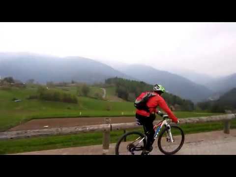
Galerie du tour


Carte du tour et altitude
Minimum height 803 m
Maximum height 1545 m
More about the tour author
|
|
MargesinFriedrich |
Commentaires

Tracks GPS
Trackpoints-
GPX / Garmin Map Source (gpx) download
-
TCX / Garmin Training Center® (tcx) download
-
CRS / Garmin Training Center® (crs) download
-
Google Earth (kml) download
-
G7ToWin (g7t) download
-
TTQV (trk) download
-
Overlay (ovl) download
-
Fugawi (txt) download
-
Kompass (DAV) Track (tk) download
-
Feuille de tours (pdf) download
-
Original file of the author (gpx) download
More about the tour author
|
|
MargesinFriedrich |
Add to my favorites
Remove from my favorites
Edit tags
Open track
My score
Rate