


Vom Parkplatz hinauf zu kleinem Stausee entlang eines Baches höher und dann leicht links haltend über den sanft geneigten Rücken zum Gipfelplateau. Der genaue Gipfel ist auf dem weiten Plateau schlecht auszumachen
Jahreszeit der Tour: Ende März
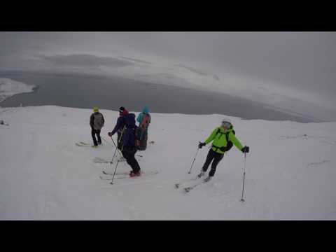
Galerie du tour


Carte du tour et altitude
Minimum height 89 m
Maximum height 919 m
More about the tour author

|
Gi |
Commentaires

von Akureyri der Ostseite des Fjords nach Norden folgen bis nach Grenivik. Hier geht ein kleines Sträßchen "Grenivikurvegur" weiter nach Norden, an Parkbucht halten. Alternativ bei Schneemangel kurz vorher einen Weg emporfahren.
Tracks GPS
Trackpoints-
GPX / Garmin Map Source (gpx) download
-
TCX / Garmin Training Center® (tcx) download
-
CRS / Garmin Training Center® (crs) download
-
Google Earth (kml) download
-
G7ToWin (g7t) download
-
TTQV (trk) download
-
Overlay (ovl) download
-
Fugawi (txt) download
-
Kompass (DAV) Track (tk) download
-
Feuille de tours (pdf) download
-
Original file of the author (gpx) download
More about the tour author
|
|
Gi |
Add to my favorites
Remove from my favorites
Edit tags
Open track
My score
Rate