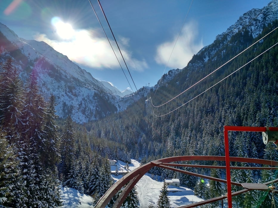
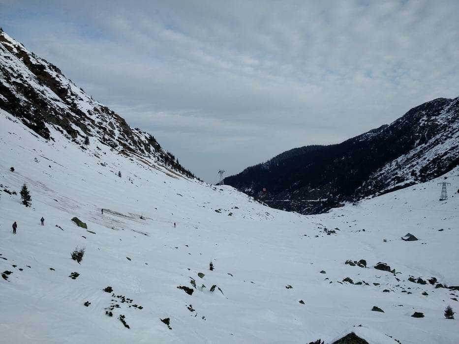
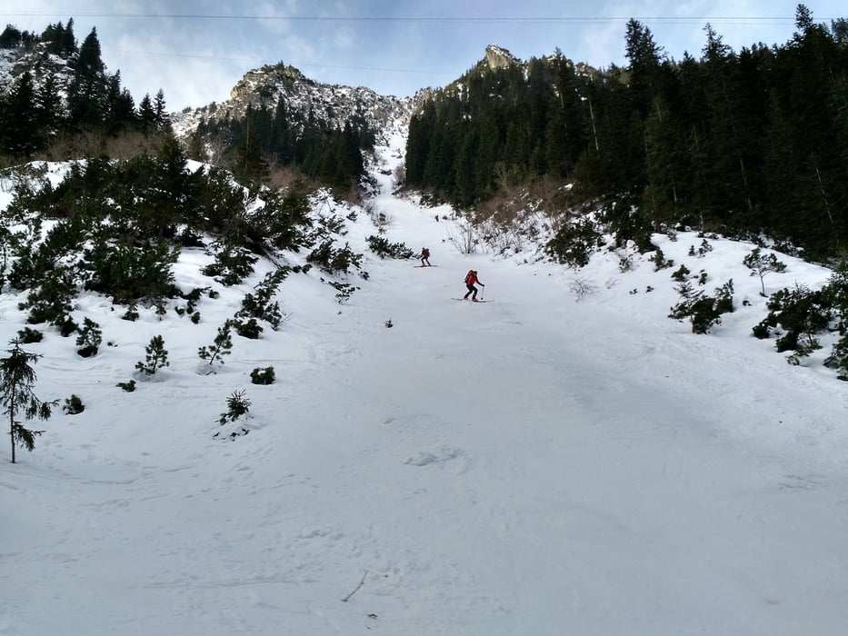
Von der Hütte zuerst auf der Ostseite, später der Westseite des Tales abfahren. Ein paar Schritte Gegenanstieg zur Seilbahnstütze. Jenseits der Stütze sehr steil mit einem kurzen Querstück hinab in den Talgrund. Talauswärts fahren, den Bach an geeigneter Stelle überqueren und dann rechts des Baches einem Weg bis zur Talstation Balea Cascada folgen.
Jahreszeit der Tour: Mitte Februar
Galerie du tour
Carte du tour et altitude
Minimum height 1232 m
Maximum height 2034 m
Commentaires

Tracks GPS
Trackpoints-
GPX / Garmin Map Source (gpx) download
-
TCX / Garmin Training Center® (tcx) download
-
CRS / Garmin Training Center® (crs) download
-
Google Earth (kml) download
-
G7ToWin (g7t) download
-
TTQV (trk) download
-
Overlay (ovl) download
-
Fugawi (txt) download
-
Kompass (DAV) Track (tk) download
-
Feuille de tours (pdf) download
-
Original file of the author (gpx) download
Add to my favorites
Remove from my favorites
Edit tags
Open track
My score
Rate


