


Angaben und Track nur Hinweg. Rückweg ist derselbe.
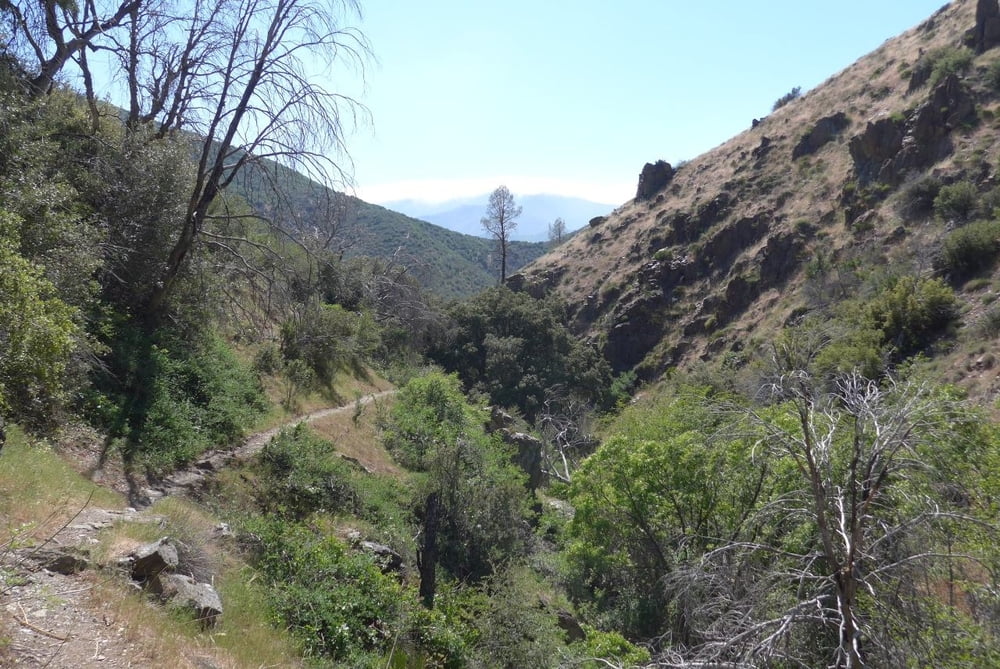
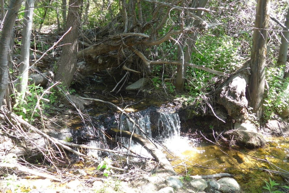
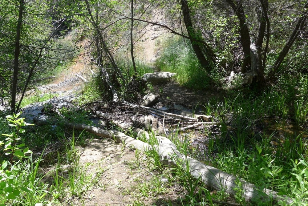
Weg führt bis zur Packsaddle Höhle. Markierung mit alter Tafel an der Straße. Die ersten paar hundert Meter flach als Karrenweg (2-spurig), dann geht nach rechts der eigentliche Trail weg. Dieser ist gut eingegangen und führt in gleichmässiger Steigung zum Pass. Dann geht es hinunter zu einem kleinen Bach und diesen entlang wieder hoch. Teilweise kurze matschige Bachquerungen (im Mai). Zum Schluss über einen Hang nach links zur Höhle. Diese Tropfsteinhöhle ist ca. 100 m tief und ungefährlich begehbar mir Taschenlampe.
Auch mit Kindern gut begehbar, sofern sie die erste langweilige Stunde mitmachen. Der zweite Teil am Bach entlang ist schon spannend, die Höhle dann super.
Galerie du tour
Carte du tour et altitude
Minimum height 1055 m
Maximum height 1362 m
More about the tour author

|
flohupfer |
Commentaires

Von Kernville (Lake Isabella) die Straße nach Norden; über Road End hinaus - die Straße geht weiter. Links vom Start ist ein Parkplatz.
Tracks GPS
Trackpoints-
GPX / Garmin Map Source (gpx) download
-
TCX / Garmin Training Center® (tcx) download
-
CRS / Garmin Training Center® (crs) download
-
Google Earth (kml) download
-
G7ToWin (g7t) download
-
TTQV (trk) download
-
Overlay (ovl) download
-
Fugawi (txt) download
-
Kompass (DAV) Track (tk) download
-
Feuille de tours (pdf) download
-
Original file of the author (gpx) download
More about the tour author
|
|
flohupfer |
Add to my favorites
Remove from my favorites
Edit tags
Open track
My score
Rate