Zweite Etappe unsere Altmühl-Kocher-Tal Tour 2016, am 10.8.2016 von Beilngries nach Treuchtlingen/Wettelsheim
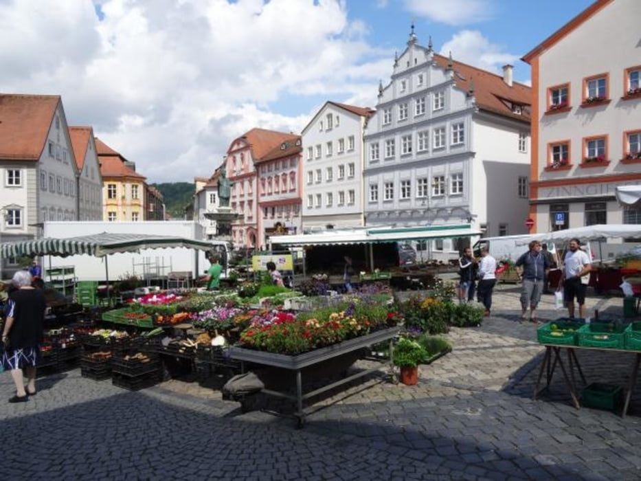
Beilngries-Kinding-Kipfenberg-Eichstätt-Burgstein-Dollnstein-Solnhofen-Pappenheim-Treuchtlingen
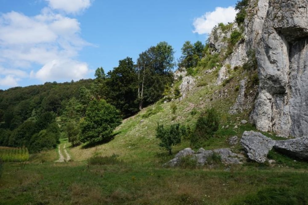
Schöne, genussvolle Strecke ohne nenenswerte Steigungen. Rast und Aufstieg zum Burgstein empfehlenswert.
Übernachtung in Wettelsheim im Gasthof Sonne (gehört zum Gasthof Goldenes Lamm, sehr gute Küche)
Galerie du tour
Carte du tour et altitude
Minimum height 365 m
Maximum height 460 m
Commentaires

Tracks GPS
Trackpoints-
GPX / Garmin Map Source (gpx) download
-
TCX / Garmin Training Center® (tcx) download
-
CRS / Garmin Training Center® (crs) download
-
Google Earth (kml) download
-
G7ToWin (g7t) download
-
TTQV (trk) download
-
Overlay (ovl) download
-
Fugawi (txt) download
-
Kompass (DAV) Track (tk) download
-
Feuille de tours (pdf) download
-
Original file of the author (gpx) download
Add to my favorites
Remove from my favorites
Edit tags
Open track
My score
Rate


