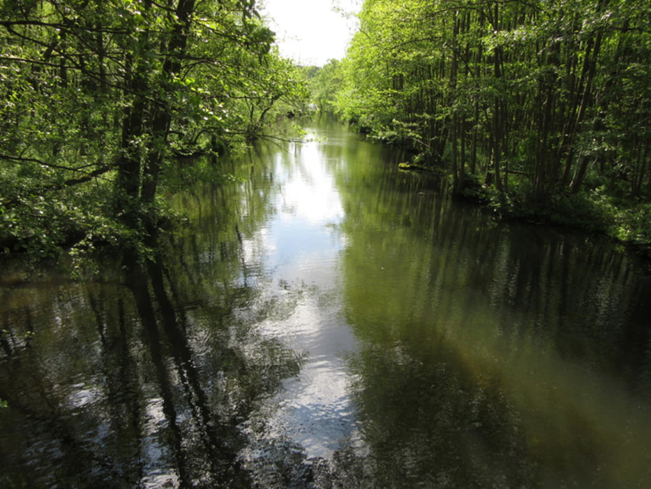
Von Mirow süswärts über den Mirower Holm, an Seen und Kanälen entlang. In Schwarz zum südlich gelegenen Aussichtsturm. Und den gleichen Weg zurück (die Alternativrouten wären Fahr- bzw. Schotterwege gewesen).
Gut zu laufende Wege (meist gelber Wanderweg)
Further information at
http://xxrhahn.de/touren/2017/mirow/index.htmlGalerie du tour
Carte du tour et altitude
Minimum height -142 m
Maximum height 82 m
Commentaires

Die Tour startet und endet in der Ortsmitte von Mirow
Tracks GPS
Trackpoints-
GPX / Garmin Map Source (gpx) download
-
TCX / Garmin Training Center® (tcx) download
-
CRS / Garmin Training Center® (crs) download
-
Google Earth (kml) download
-
G7ToWin (g7t) download
-
TTQV (trk) download
-
Overlay (ovl) download
-
Fugawi (txt) download
-
Kompass (DAV) Track (tk) download
-
Feuille de tours (pdf) download
-
Original file of the author (gpx) download
Add to my favorites
Remove from my favorites
Edit tags
Open track
My score
Rate


