
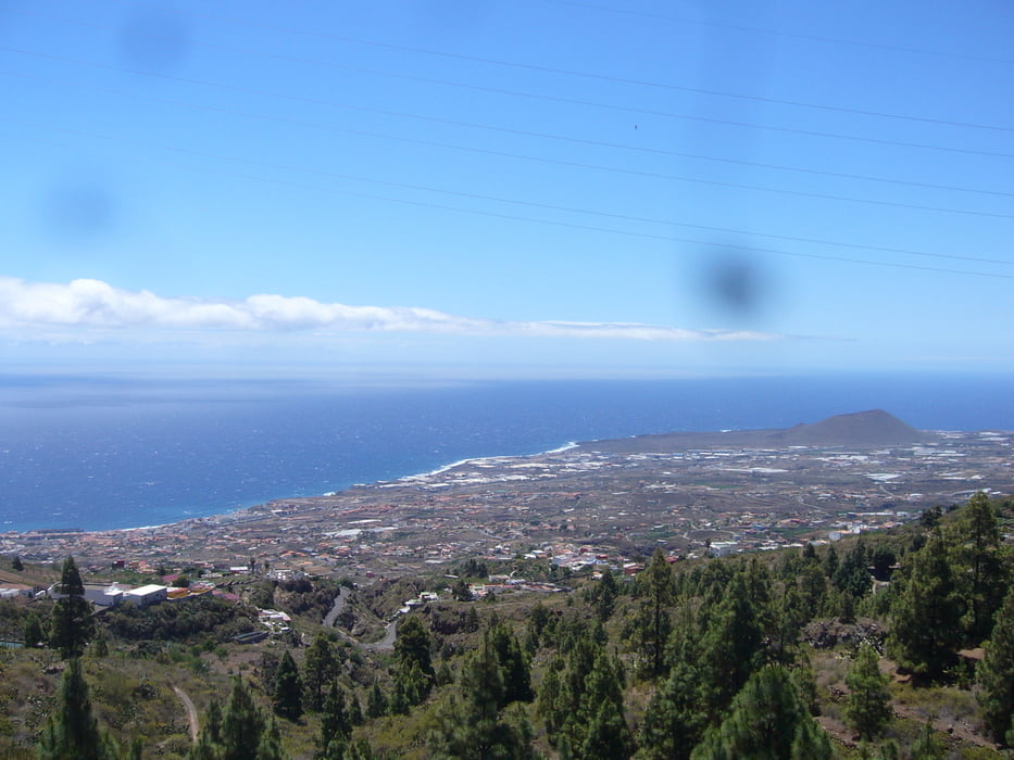

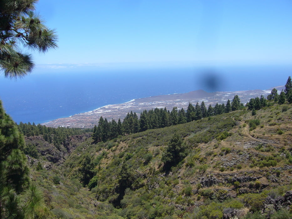
Sehr schöne Tour an der Ostküste. Wir wollten eigentlich eine Tour im Anagagebirge laufen. Im Süden war das Wetter auch top. Im Anagagebirge empfingen uns dann Regen, Sturm und 13 Grad. Da wir nicht einfach wieder umdrehen wollten, haben wir diese Rundtour gewählt, die auch im Rother Wanderführer empfohlen ist (Nr. 11).
Tlw. sehr steile Wege, aber lohnenswerte Aussichten. Technisch einfach.
Galerie du tour
Carte du tour et altitude
Minimum height 368 m
Maximum height 1089 m
More about the tour author

|
klixx |
Commentaires

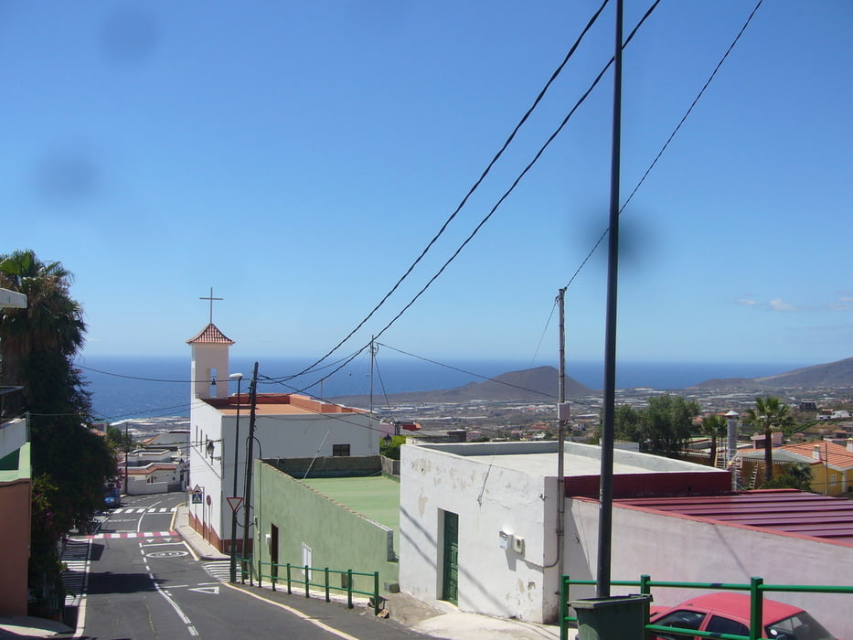
Unweit der TF1. Araya ist bereits auf der Autobahn ausgeschildert. Einfach folgen und an der Kirche kostenlos parken.
Tracks GPS
Trackpoints-
GPX / Garmin Map Source (gpx) download
-
TCX / Garmin Training Center® (tcx) download
-
CRS / Garmin Training Center® (crs) download
-
Google Earth (kml) download
-
G7ToWin (g7t) download
-
TTQV (trk) download
-
Overlay (ovl) download
-
Fugawi (txt) download
-
Kompass (DAV) Track (tk) download
-
Feuille de tours (pdf) download
-
Original file of the author (gpx) download
More about the tour author
|
|
klixx |
Add to my favorites
Remove from my favorites
Edit tags
Open track
My score
Rate