


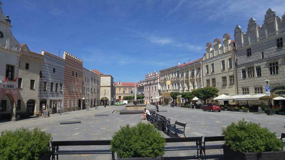
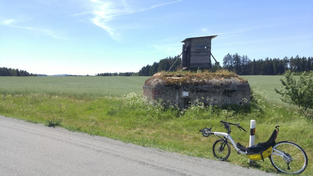
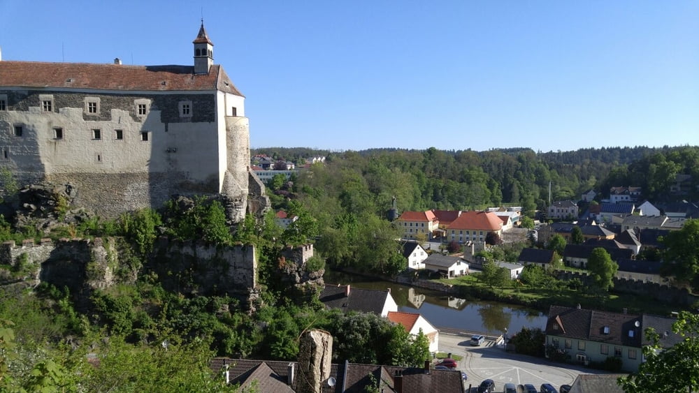
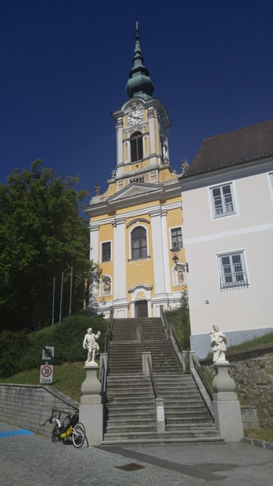
Die neue Radrunde im nördlichen Waldviertel, alles asphaltiert und auch RR-tauglich. Mit Abstecher/Variante nach Drosendorf. Rund 52km führen auf einer ehemaligen Bahntrasse, der Rest ist für die Höhenmeter verantwortlich, insbesonders der Abstecher nach Drosendorf. Die Strecke führt 2x über die Grenze Tschechien-Österreich, keine Kontrollen, trotzdem Pass oder Personalausweis erforderlich.
Die offizielle Thayarunde fährt nicht nach Drosendorf und hat im Süden ein Stück (1km?) Schotterstrasse, die dieser Track umfährt.
Further information at
http://thayarunde.euGalerie du tour
Carte du tour et altitude
Minimum height 374 m
Maximum height 592 m
More about the tour author
|
|
toxy |
Commentaires

Ich war am Campingplatz Thaya als Start- und Zielpunkt, ganz nahe dem Einstieg zur Runde. SEHR ruhig, aber alles da... GPS 48°51'17.71"N 15°17'44.59"E
Tracks GPS
Trackpoints-
GPX / Garmin Map Source (gpx) download
-
TCX / Garmin Training Center® (tcx) download
-
CRS / Garmin Training Center® (crs) download
-
Google Earth (kml) download
-
G7ToWin (g7t) download
-
TTQV (trk) download
-
Overlay (ovl) download
-
Fugawi (txt) download
-
Kompass (DAV) Track (tk) download
-
Feuille de tours (pdf) download
-
Original file of the author (gpx) download
More about the tour author
|
|
toxy |
Add to my favorites
Remove from my favorites
Edit tags
Open track
My score
Rate