


Gemütlich geht es vom Hotel nach rechts zu den Kohler- Höfen, quer übers Tal nach Innerpichl, kleiner Anstieg nach Oberpichl.Auf einem bequemn Höhenweg durch Außerpichl, Henzing und Innerforrer. Nach links ins Tal, kurz auf der Straße nach links, rechts ab über Untersinner Hof und Durnwald zurück zum Ausgangspunkt.
HINWEIS zum Video:
Mit Mozilla Firefox u.a. mit Flash- Player Plugin startet das Video direkt bei der Bildershow.
Andernfalls verwendet ihr in eurem Browser den Link:
https://youtu.be/jHruBPz2pvY
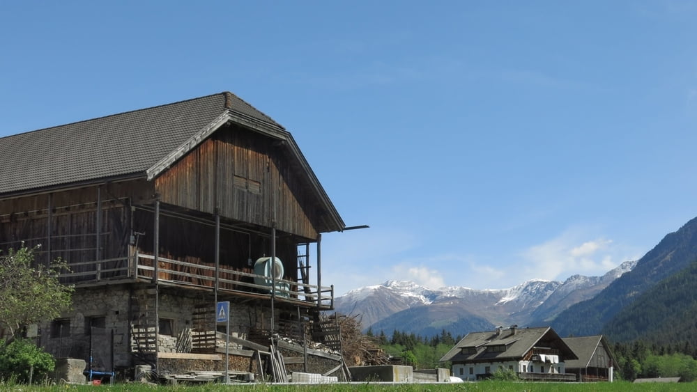
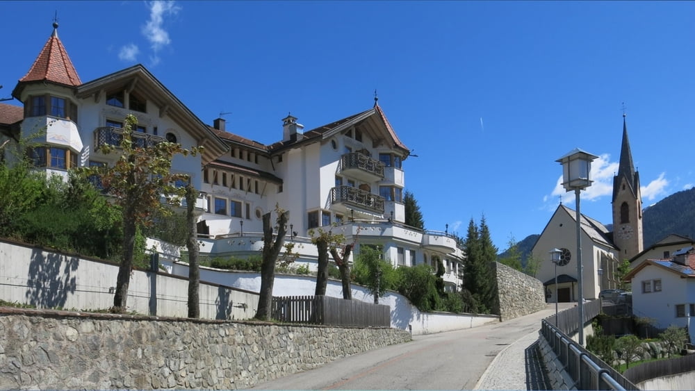
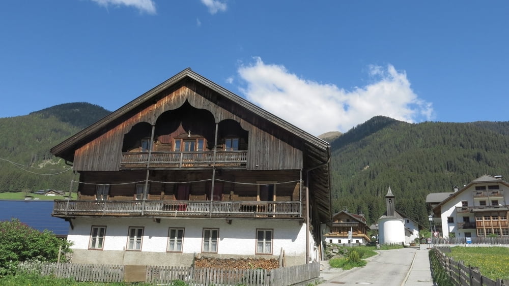
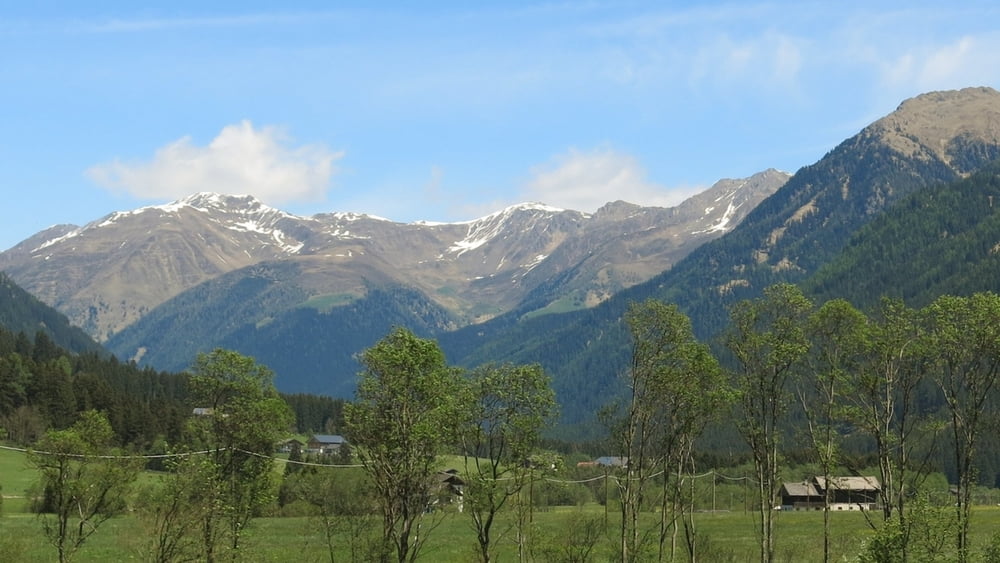
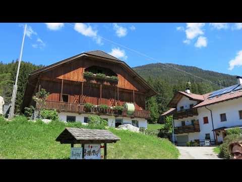
Galerie du tour
Carte du tour et altitude
Minimum height 1201 m
Maximum height 1317 m
More about the tour author
|
|
heinz-57 |
Commentaires

Im Pustertal von Bruneck kommend nach Welsberg, links ab ins Gsieser Tal. Gegenüber von Pichl rechts ab nach Unterplanken zum Hotel Stoll.
Tracks GPS
Trackpoints-
GPX / Garmin Map Source (gpx) download
-
TCX / Garmin Training Center® (tcx) download
-
CRS / Garmin Training Center® (crs) download
-
Google Earth (kml) download
-
G7ToWin (g7t) download
-
TTQV (trk) download
-
Overlay (ovl) download
-
Fugawi (txt) download
-
Kompass (DAV) Track (tk) download
-
Feuille de tours (pdf) download
-
Original file of the author (gpx) download
More about the tour author
|
|
heinz-57 |
Add to my favorites
Remove from my favorites
Edit tags
Open track
My score
Rate