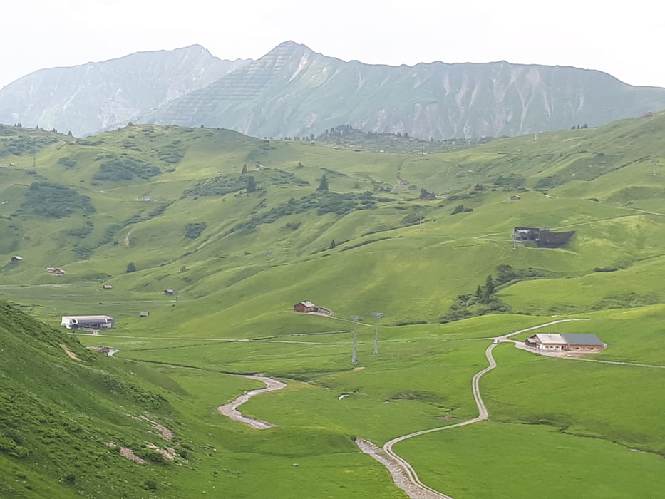
Von Lech auf der Landesstrasse nach Warth, dann links Richtung Hochtannbergpass bis zum Kalbelesee. Jetzt gehts auf Schotter den Spazierweg hinauf und dann auf der anderes Seite hinunter zum Körbersee. Obacht ! Vernünftiges hinunterfahren da Wanderer entgegenkommen können. Beim Körberseehotel - und auch später bei allen Alpen - schöne Einkehrmöglichkeit. Jetzt zur Batzenalpe und hinauf ins Auenfeld. Weiter zur Liftstadtion Auenfeld/Weibermahd und nach Oberlech. Dann auf der nomalen Strasse zurück nach Lech.
Carte du tour et altitude
Minimum height 973 m
Maximum height 1783 m
Commentaires

Start in Lech
Tracks GPS
Trackpoints-
GPX / Garmin Map Source (gpx) download
-
TCX / Garmin Training Center® (tcx) download
-
CRS / Garmin Training Center® (crs) download
-
Google Earth (kml) download
-
G7ToWin (g7t) download
-
TTQV (trk) download
-
Overlay (ovl) download
-
Fugawi (txt) download
-
Kompass (DAV) Track (tk) download
-
Feuille de tours (pdf) download
-
Original file of the author (gpx) download
Add to my favorites
Remove from my favorites
Edit tags
Open track
My score
Rate

