


Gatschach-Oberdorf-Weiße Wand-Gaiacher Alm-
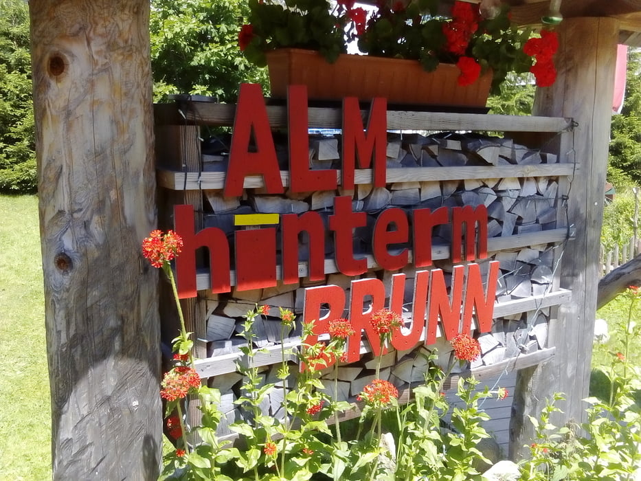
Alm hinterm Brunn-Ziahgas-Stosia-Ostufer-Bodenalm-
Paterzipf-Gatschach
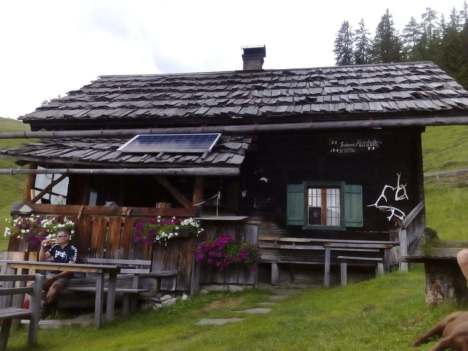
Neue, gute Auffahrt auf Gaiacher Alm. Bis Viertelstunde vor Zihagas gut fahrbar auf Schotterpiste, dann beginnt das Schiebestück zur Stosia, zwischendurch schöne trails. Gesamt ca 1h15' schieben., aber das Panorama belohnt einen: herrliche Ausblicke auf den Latschur und den See auf der anderen Seite. In der Techendorfer Alm ist bei netten Wirtsleuten gut einkehren, Gewitter abgewartet. Auf teils grobem Schotter runter zum See, wieder mit tollen Fotomotiven.Nach Querung der Weißensee Straße beginnt gleich der neue Mtb Trail zunächst parallel zur Straße. Zum Schluss noch die 300 hm hinauf zur Bodenalm und dann gemütlich runter zum See.
Galerie du tour


Carte du tour et altitude
Minimum height 930 m
Maximum height 1811 m
More about the tour author
|
|
mitter |
Commentaires

Start in Gatschach am Weißensee.
Tracks GPS
Trackpoints-
GPX / Garmin Map Source (gpx) download
-
TCX / Garmin Training Center® (tcx) download
-
CRS / Garmin Training Center® (crs) download
-
Google Earth (kml) download
-
G7ToWin (g7t) download
-
TTQV (trk) download
-
Overlay (ovl) download
-
Fugawi (txt) download
-
Kompass (DAV) Track (tk) download
-
Feuille de tours (pdf) download
-
Original file of the author (gpx) download
More about the tour author
|
|
mitter |
Add to my favorites
Remove from my favorites
Edit tags
Open track
My score
Rate